
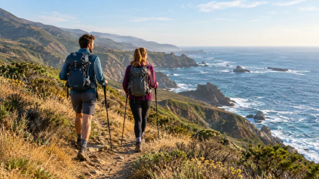
Start with Andrew Molera State Park if you want one Big Sur hike that gives you a fair sample of the coast without demanding a wilderness-level commitment. You get coastal meadows, redwoods, river scenery, and flexible loop options. Choose Pfeiffer Falls for a shorter forest hike, Ewoldsen for a hard day with bigger views, and Sykes Hot Springs or Cone Peak only after checking access, water crossings, weather, and closures.
What are the best hiking trails in Big Sur?
Big Sur rewards hikers who match the trail to the day they actually have. Some routes are short scenic stops. Others look manageable on a map and turn into hot, exposed slogs once the water runs low.
| Trail or area | Best for | Difficulty | What the day delivers |
|---|---|---|---|
| Andrew Molera Loop | Best overall choice | Easy to moderate, depending on route | Meadows, river, redwoods, and coastal views |
| Pfeiffer Falls Trail | Beginners and families | Easy to moderate | Shaded redwoods, bridges, and a waterfall |
| Partington Cove Trail | Compact coastal scenery | Moderate | Ocean views, steep grades, and a tunnel |
| McWay Falls Overlook Trail | Easiest dramatic coast stop | Easy | A quick view of a waterfall meeting the sea |
| Limekiln Trail | Short forest and creek outing | Easy to moderate | Redwoods, water, and a waterfall when open |
| Ewoldsen Trail | Hard day with strong scenery | Strenuous | Redwoods, canyon views, and serious climbing |
| Sykes Hot Springs via Pine Ridge Trail | Experienced backpackers | Strenuous | A remote hot spring objective with limited bailouts |
| Cone Peak Trail | Experienced mountain hikers | Strenuous | Large coastal and inland views with exposure |
Andrew Molera is the best broad recommendation because you can shorten the day if the heat, wind, or trail conditions turn against you. Pfeiffer Falls is easier to understand: walk through redwoods, cross wooden bridges, and reach a waterfall. That direct payoff matters when you’re hiking with children or carrying a tired group.
For nearby coastal walking, Point Lobos State Reserve offers 14 trails around coves, headlands, and forest. It sits near Carmel rather than central Big Sur, so treat it as a separate stop instead of pretending you can squeeze every coastal route into one afternoon.
Andrew Molera is the best all-around Big Sur hike
Andrew Molera gives you more ways to have a good day than most Big Sur trailheads. You can combine open coastal meadows, redwoods, river scenery, and views toward the ocean. You also have room to adjust the outing if the weather turns hot or the group starts dragging.
The trail feels forgiving compared with steep mountain objectives. That does not mean it is flat, polished, or immune to mud. River conditions, seasonal flooding, wind, and trail closures can change the route, so check access before driving in.
Andrew Molera works especially well for:
- A first full day in Big Sur
- Families with hikers who can manage uneven ground
- Visitors who want coast and forest in one outing
- Hikers carrying a moderate day pack
- Groups with mixed fitness levels
- Anyone who wants a bailout option
The main tradeoff is that the scenery spreads across the route. You are not walking a short path to one dramatic viewpoint. You are earning a changing landscape over trail miles, with sections that may feel ordinary until the meadows open or the river appears.
That variety is why it earns the overall pick. You get choices after the first section, and choices are useful when the heat index climbs or someone’s feet start filing complaints.
Easy Big Sur hikes for families and beginners
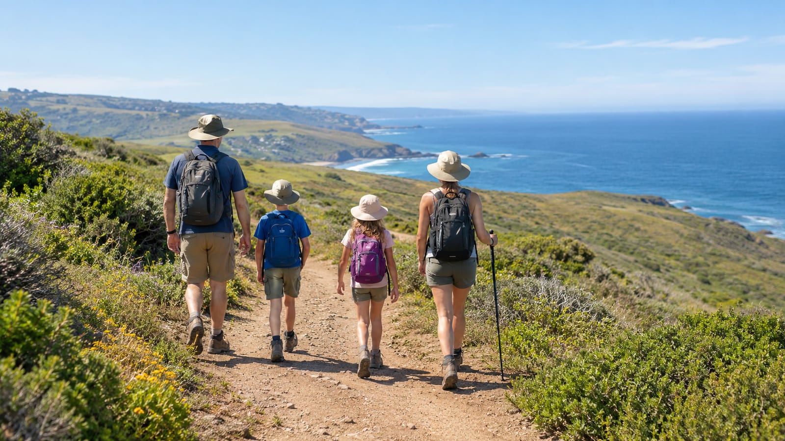
Pfeiffer Falls is the best beginner-friendly forest hike in the area. Giant redwoods, river views, and wooden bridges give the route enough variety to hold attention. The waterfall adds a clear destination without asking you to commit to a remote backcountry day.
The trail still has uneven ground, roots, rocks, and sections that can feel steep to young hikers. Wet bridges and slick rocks deserve more respect than the short distance suggests. Carry water, keep children close near moving water, and do not assume a forest trail works for a stroller.
McWay Falls Overlook Trail is the easiest dramatic coastal stop. You get a strong view of the waterfall dropping toward the beach with little walking. However, this is an overlook route, not a beach-access trail and not a substantial hike.
Partington Cove is short enough to fit into a driving day but has real trail character. The tunnel is distinctive, and the ocean view arrives quickly. Steep grades, uneven footing, and limited parking make it less casual than the photos suggest.
Limekiln can be a strong short outing when the trail and bridges are open. Redwoods, creek crossings, and a waterfall give it more substance than a roadside viewpoint. Still, creek water can make rocks slick, and a closed bridge ends the plan no matter how close the map makes the destination look.
For families, use the same standards you would use on any family-friendly hiking trail:
- Can everyone handle uneven ground without being carried?
- Is there enough shade for the warmest part of the day?
- Can you turn around before the planned destination?
- Do you have dry layers if creek spray or fog rolls in?
- Is the parking situation workable with children and gear?
A short hike can still be a poor family choice if the trailhead is crowded, the ground is slick, or the route has no easy turnaround.
The best coastal hikes for cliffs, ocean views, and whale watching
Partington Cove is the best compact coastal hike for a distinctive view without spending the whole day on exposed trail. The tunnel gives it something beyond another overlook, but the route climbs and drops more than casual visitors expect.
Andrew Molera offers a broader coastal experience. You get open land, river scenery, and a gradual transition between forest and coast. The view is less immediate than McWay Falls, but the day feels like a hike rather than a scenic stop.
McWay Falls is the efficient choice if your schedule is tight. Park, walk to the overlook, and keep moving. Bring realistic expectations. The view is dramatic, but the route is too short to replace a proper coastal hike.
Higher coastal viewpoints and mountain routes can offer larger views, but they also bring more wind, exposure, and harder footing. A clear day does not remove the drop beside the trail. Keep back from cliff edges, especially when taking photos or managing a dog.
Whale watching is possible from Big Sur’s coast, but no trail guarantees it. Bring binoculars if whales are a priority, scan patiently, and treat any sighting as luck rather than the day’s promised reward. Ocean haze, glare, and distance can make a whale look like a dark mark that briefly remembered to move.
The coast also brings heat, wind, and limited shade. A cool morning can become a bright, exposed afternoon. Carry a sun layer, protect your neck, and do not spend all your water before the return section.
Redwood forests, waterfalls, and river crossings
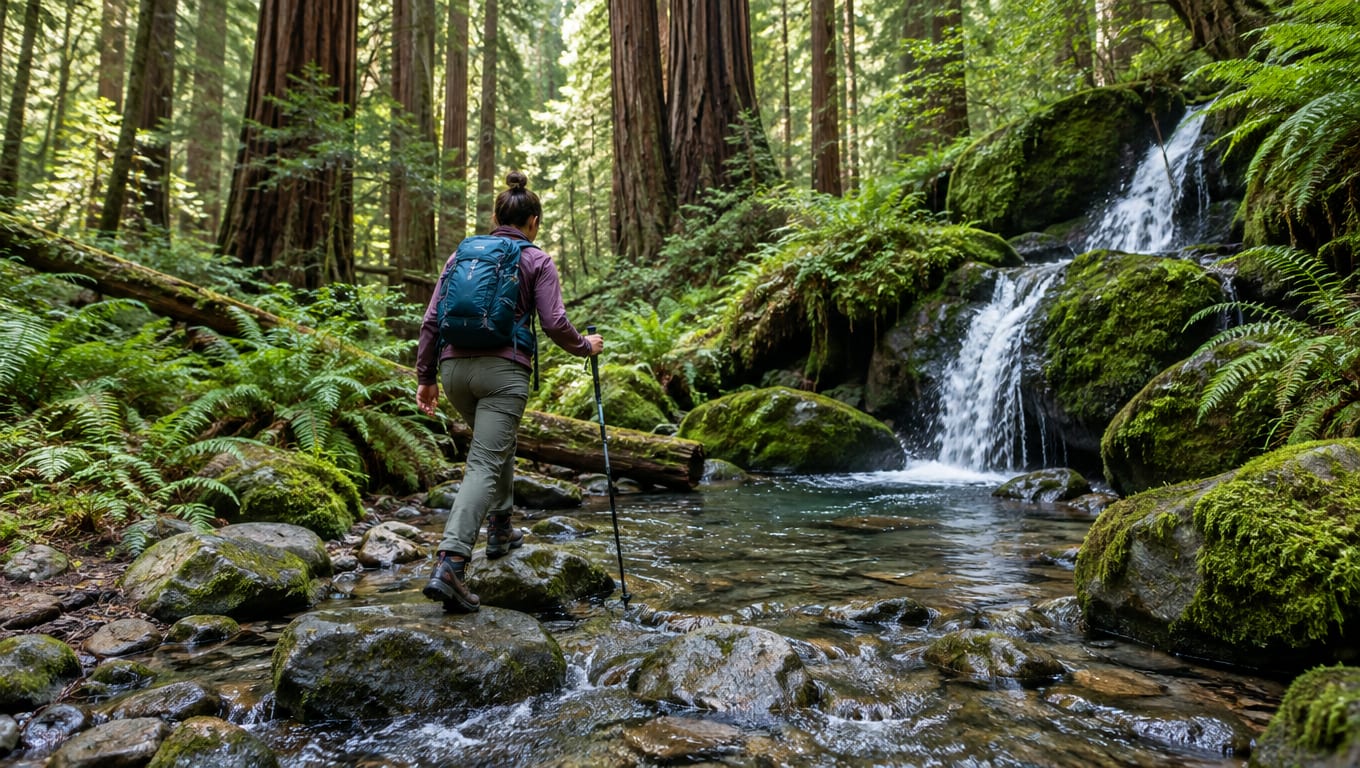
Pfeiffer Falls is the cleanest choice for redwoods and a waterfall in one manageable outing. Expect shade, damp ground, wooden bridges, and slick surfaces after rain. Trekking poles help if your knees dislike steep descents or wet footing.
Limekiln has a similar appeal with more creek character. Its redwoods feel enclosed and cool, while the water adds noise and slippery rocks. Check bridge and trail conditions before leaving because seasonal damage can turn a simple route into a closed route.
Andrew Molera gives you more open terrain and river scenery. That makes it better for changing views but less consistently shaded. On a warm day, the exposed sections can matter more than the map suggests.
Salmon Creek-style outings suit hikers who want a forest and waterfall day without committing to a major mountain route. Water levels change with rain and the season. Treat every crossing as a decision point, not a photo opportunity.
Use these rules near water:
- Stop and inspect the crossing before stepping in.
- Avoid crossings during strong flow or after heavy rain.
- Keep your shoes on when rocks are unstable.
- Unclip your hip belt if a crossing becomes deep enough to threaten balance.
- Turn around when the water is faster or higher than your judgment can manage.
- Keep phones and maps in a dry bag.
A route can be easy on a dry morning and unsafe after a storm. The trail rating does not know what the creek did overnight.
Big Sur trail difficulty, distance, and elevation gain
Big Sur has short scenic walks, moderate forest routes, strenuous day hikes, and remote objectives that need backpacking judgment. The label on a map matters less than heat, water, exposure, pack weight, and how far you are from a bailout point.
Use this practical breakdown:
- Short walks: McWay Falls and some Point Lobos routes. These suit scenic stops, recovery days, and visitors with limited time.
- Easy to moderate hikes: Pfeiffer Falls, Limekiln when open, and shorter Andrew Molera options. Expect uneven ground, bridges, roots, and possible creek issues.
- Moderate coastal outings: Partington Cove and longer Andrew Molera routes. Steep grades and exposure become more important.
- Strenuous day hikes: Ewoldsen and Cone Peak. Budget for serious climbing, heat, and slower movement after mile 10.
- Remote objectives: Sykes Hot Springs and longer Ventana Wilderness routes. Navigation, water treatment, and bailout limits matter as much as fitness.
- Overnight routes: Pine Ridge and coastal backcountry routes. Your pack weight changes every climb, and a small foot problem becomes a trip problem.
The Kirk Creek Campground to Vincente Flat Camp route covers 11 miles over 2 days and 1 night, with 2595 feet of elevation gain. It is described as beginner difficulty, but beginner does not mean effortless. An overnight pack, sun, wind, and a sore shoulder strap can change the math.
Do not compare trails by distance alone. A short steep trail can cost more recovery than a longer route with shade and gentler grades. Plan around the slowest hiker, the water carry, and the return climb.
Hot springs and mountain peaks require the most preparation
Sykes Hot Springs via Pine Ridge Trail is a rewarding objective for experienced hikers who understand backcountry travel. The Sykes Hot Springs trail is 9 miles, and the route is a poor casual day hike for most people. It makes more sense as an overnight-style trip when access and conditions allow.
The hard parts are predictable:
- Heat on exposed sections
- Limited water or unreliable water sources
- Long climbs and descents
- Remote terrain with limited cell service
- Few easy bailout points
- Crossings that change after storms
- Navigation problems when signs or trail tread are unclear
Do not start for the springs because a social post showed calm water and empty pools. Confirm that the route is officially open, check recent conditions, and carry a backup plan. A hot spring is not worth a flooded crossing or a forced night out.
Cone Peak is the better choice for a hard mountain outing with huge coastal-to-inland views. It is also a poor fit for hikers who dislike exposure, elevation, heat, or long stretches without an easy exit. The reward is large because the route asks for more.
Experienced hikers should still check:
- Current road and trail access
- Fire closures and storm damage
- Water availability
- Offline maps and route junctions
- Wind and heat forecasts
- A turnaround time
- An emergency contact plan
The views do not improve because you ignored the weather. They just become harder to reach.
Multi-day backpacking routes and wilderness camping
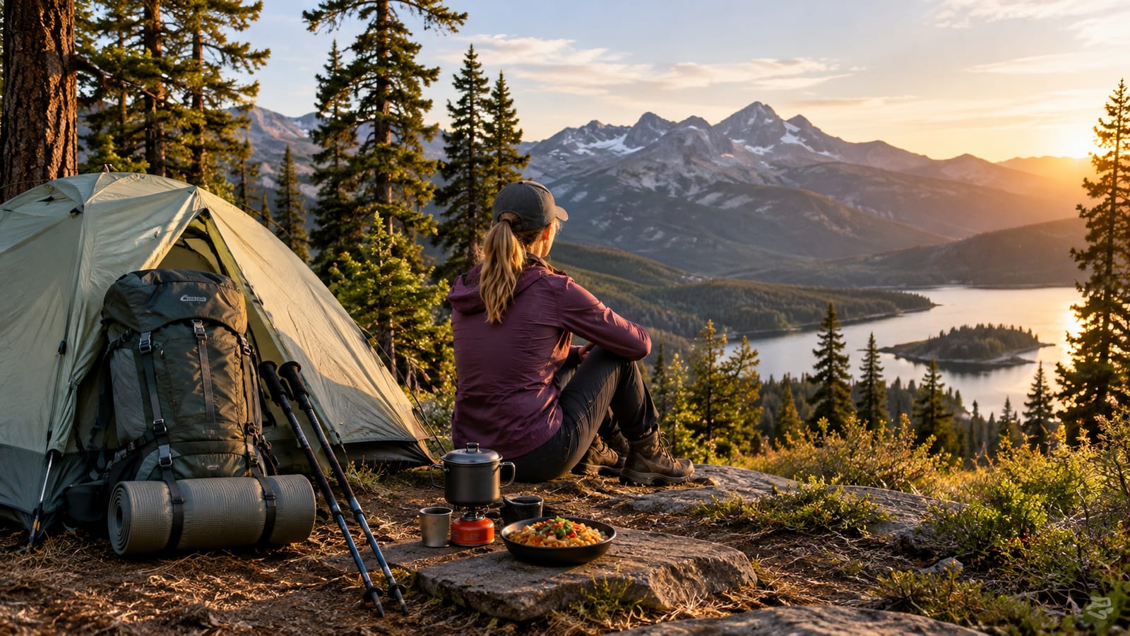
Pine Ridge and Ventana Wilderness routes are a different category from Big Sur’s day hikes. You carry food, shelter, water treatment, navigation tools, and enough clothing for a cold or wet night. Your feet also carry the weight of every decision.
Before leaving, check the Los Padres National Forest for current closures, regulations, fire restrictions, and wilderness information. Rules can change after wildfire, storms, or resource damage. A route that was legal last season may be restricted now.
Plan for:
- Permits or registration requirements where applicable
- Dispersed camping rules
- Fire restrictions
- Food storage requirements
- Water treatment
- Human waste practices
- Offline navigation
- A weather backup
- A clear bailout point
Treat all backcountry water unless an official notice says otherwise. Filters can clog in silty sources, and freezing can damage hollow-fiber filters. Carry treatment tablets as a backup because a broken filter turns a small gear problem into a water problem.
Pack food in a way that keeps animals from turning your campsite into a pantry. Do not leave a food bag outside while you wander off. Also, keep your camp simple. More gear creates more failure points and more weight on every climb.
A first overnight should use a route with a clear return plan. Sykes and Ventana peaks are poor places to learn that your pack rubs, your filter flow is slow, or your navigation app never downloaded the map.
Trailhead access, parking, fees, and Highway 1 directions
Big Sur trails are spread along and inland from Highway 1. Some trailheads sit beside the highway. Others require a turn onto a narrow road, a longer approach, or access through a park with its own rules.
Start by checking the official park or forest page before driving. A trail can appear close on a map and still be inaccessible because a bridge is closed, a road is damaged, a gate is locked, or the route crosses land with different access rules.
Parking fills early at popular coastal stops and compact trailheads. Arriving late can leave you circling beside a busy highway, which is not a pleasant warm-up. Never block a gate, shoulder, driveway, or emergency access area just to save a few minutes of walking.
Keep these access habits:
- Download the route before losing cell service.
- Carry a paper backup for remote routes.
- Check whether day-use fees apply.
- Confirm whether parking is allowed at the trailhead.
- Leave extra time for slow Highway 1 traffic.
- Do not assume a shuttle exists unless the official page says so.
- Check the return route before committing to a long hike.
Highway 1 scenery encourages last-minute decisions. That works for a viewpoint. It works less well for a remote trail with limited parking and one road in.
Closures, weather, and safety can change the right trail
Check conditions before you leave and again before you start hiking. Big Sur’s trail network changes after wildfire, landslides, heavy rain, washed-out bridges, and road damage. The trail you planned may be closed while the nearby overlook remains open.
Use the California State Parks site for park notices and current access information. For forest and wilderness routes, check the relevant federal land manager. Social posts can help reveal recent conditions, but they are not closure notices.
Your pre-departure checklist should cover:
- Wildfire damage and smoke
- Storm damage and washed-out bridges
- Landslides and road closures
- Heat and wind
- Water availability
- Poison oak
- Ticks
- Mountain lion awareness
- Limited cell service
- Official closure notices
- Parking and day-use rules
Poison oak is common enough to deserve a plan. Stay on the trail, wear long pants if the vegetation crowds the route, and wash exposed skin and clothing after the hike. Ticks are easier to manage when you check yourself before getting in the car.
Mountain lions usually want distance from you. Keep children and pets close, do not approach wildlife, and give an animal room to leave. If you have no cell service, your route plan and turnaround time matter more than your phone battery.
Weather can turn a scenic coastal hike into a cold, windy walk with wet hands and poor visibility. Carry a light rain layer even when the morning looks harmless. Condensation and fog are not dramatic, but they can chill you after you stop moving.
What to carry after several miles on Big Sur trails
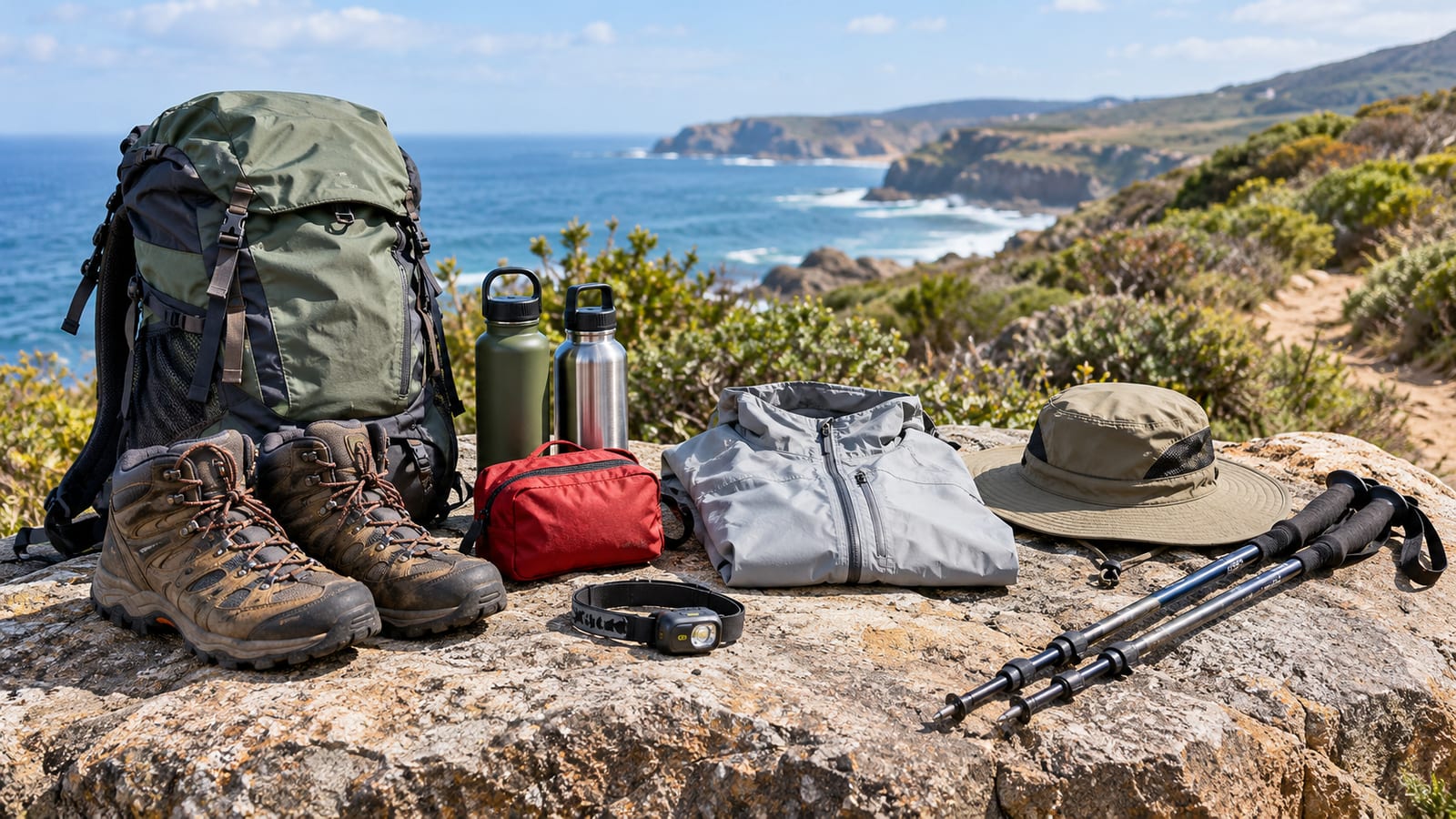
Choose gear for trail conditions, not for a product photo. Most hikers need shoes with secure footing, water capacity that matches the route, and a way to stay oriented when the phone loses service.
Pack the following for a typical day:
- Trail shoes or boots with reliable grip
- Trekking poles for steep, wet, or uneven ground
- Enough water for the planned route and conditions
- A filter or treatment tablets for backcountry routes
- Offline maps and a backup navigation method
- Sun protection and a warm or rain layer
- Food with enough salt and calories for the return
- Small first-aid supplies
- Blister tape
- Headlamp
- Emergency blanket or shelter
- Dry bags for maps, phone, and spare layers
Trail runners work well for many day hikers because they dry faster and reduce pack weight. Boots make more sense for rough terrain, heavier loads, or hikers who need more structure. Wet leather boots can stay wet long after a creek crossing, so do not choose them because they look more serious.
Trekking poles earn their place on slick rocks, steep descents, and river approaches. They also give you another contact point when your pack is loaded. Cheap poles are fine if the locks hold and the grips do not chew up your palms.
Carry more water for exposed coastal routes and hot inland climbs. The right amount depends on conditions, pace, and access to reliable sources. A dry mouth is a poor time to discover that your plan depended on a creek you never found.
A simple Big Sur hiking itinerary by available time
You have about one hour
Choose McWay Falls Overlook Trail for the easiest dramatic coastal view. If you are already near Carmel, Point Lobos gives you more short walking options and a quieter way to stretch your legs.
Use this time for a scenic stop, not a remote trailhead. Parking and road conditions can consume more time than the walking.
You have a half day
Choose Pfeiffer Falls for redwoods, bridges, and a waterfall. Pick Partington Cove if ocean views and the tunnel matter more than shade.
Limekiln is another good half-day option when open and when recent water and bridge conditions look reasonable. Keep a dry layer in the car. Creekside trails can feel cool even after a warm drive.
You have a full day
Choose Andrew Molera for the best mix of coast, meadows, river scenery, and redwoods. Choose Ewoldsen if you want a strenuous day and have the fitness, water, and recovery time for serious elevation gain.
Do not pair a hard trail with a packed sightseeing schedule. Your legs will remember the climb after the scenic stops stop looking scenic.
You have an overnight
Choose a legal, currently open Pine Ridge or Ventana Wilderness route that matches your navigation and water skills. Sykes Hot Springs can work for experienced backpackers after checking access and conditions. The Kirk Creek Campground to Vincente Flat Camp route offers an 11-mile, 2-day / 1-night outing with 2595 feet of elevation gain.
Carry a real shelter, food, treatment backup, and a map you can use without service. If this is your first overnight, choose a route with a simple bailout rather than chasing the most famous destination.
You want the coast
Choose Andrew Molera for a full coastal day or McWay Falls for a quick view. Partington Cove fits between those choices when you want a compact hike with a tunnel and ocean scenery.
You want forest and waterfalls
Choose Pfeiffer Falls for the most approachable option. Choose Limekiln when the trail and bridges are open and you want more creek character.
You want hot springs or peaks
Choose Sykes Hot Springs only for a prepared backcountry trip. Choose Cone Peak for a hard mountain day with big views, strong fitness demands, and little room for careless planning.
FAQ
Is Big Sur good for beginner hikers?
Yes, if you choose the trail carefully. Pfeiffer Falls, McWay Falls, and selected Point Lobos walks give beginners scenic rewards without the commitment of a remote wilderness route. Beginners should still expect uneven ground, slick rocks, steep sections, and changing weather.
Can you hike Big Sur trails without cell service?
You can hike many routes without reliable service, but you should not depend on your phone. Download offline maps, carry a backup navigation method, tell someone your plan, and set a turnaround time before leaving the trailhead.
Are dogs allowed on Big Sur hiking trails?
Rules vary by park, trail, and land manager. Check the official access page for the exact route before bringing a dog. A dog that struggles with heat, slippery rocks, or narrow cliffside trail can turn a short outing into a rescue problem.
What is the safest way to plan a first Big Sur hike?
Start with a shorter route in a park, check official conditions, and hike early enough to avoid the worst heat and parking problems. Pfeiffer Falls or a manageable Andrew Molera route makes more sense than starting with Sykes Hot Springs or Cone Peak.
Can you combine several Big Sur hikes in one day?
You can combine a short coastal stop with a short forest walk, but do not stack strenuous routes. Allow time for parking, Highway 1 traffic, trailhead delays, and changing conditions. A smaller plan that finishes comfortably beats a rushed itinerary that ends after dark.
