
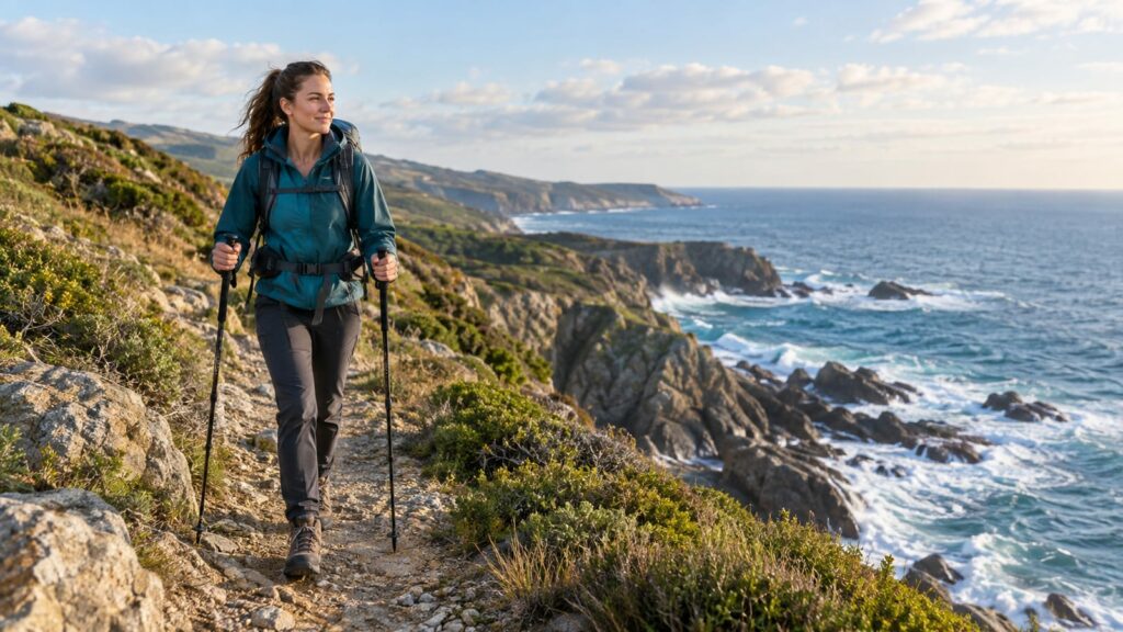
Marginal Way is the best all-around choice among Maine coastal hiking trails because it gives you dramatic surf, simple navigation, and a short paved route without turning the day into a logistics exercise. Choose Mount Agamenticus for a short, easy-to-moderate southern Maine summit, Cliff Trail in Harpswell for a compact rocky-coast payoff, and Acadia only when you’re planning a full destination trip. Longer routes can be excellent, but drive time, parking, wet rock, and tired feet count too.
Last updated: 2026-09-30
The Maine coastal hiking trails worth your time
The coast has plenty of trails with a good view at the end. The better ones put you beside moving water, over exposed rock, or through working coastal land. A postcard is not a trail plan.
| Trail | Best for | Terrain and payoff | Main catch |
|---|---|---|---|
| Marginal Way, Ogunquit | First-time visitors and easy ocean walking | 1.25-mile paved coastal walk between downtown Ogunquit and Perkins Cove | Crowds and expensive nearby parking |
| Mount Agamenticus, York | A short, easy-to-moderate southern Maine summit | 1.8-mile loop, about 340 feet of gain, and 360-degree summit views | Summit views rather than shoreline, plus paid parking |
| Cliff Trail, Harpswell | Compact rocky coast | 150-foot cliffs overlooking Long Reach | Wet rock and exposed edges need care |
| Harpswell Coastal Trails | Quiet coves and working waterfront | Short wooded and shoreline walks | Trailheads are scattered |
| Reid State Park, Georgetown | Beaches and dunes | Easy walking with forgiving footing | Few cliff-top views and seasonal access concerns |
| Rachel Carson National Wildlife Refuge, Wells | Families and wildlife watching | Low-stress marsh and coastal paths | Marsh scenery replaces dramatic open ocean |
| Monhegan Island Trails | Exposed island cliffs | Strong ocean views and a genuine escape | Ferry schedules, weather, lodging, and limited services |
| Acadia coastal trails | A full destination trip | Granite shore, exposed headlands, and mountain views | Distance, crowds, fees, and exposed terrain |
Best overall: Marginal Way. It earns the call because almost anyone can understand the route, the ocean stays close, and you can bail out into town when the weather turns sour.
Best short southern Maine summit: Mount Agamenticus. The loop is short, rated easy to moderate, and gains only about 340 feet, yet the top gives 360-degree views without driving to Mount Desert Island. Expect a summit view, not ocean under your shoes.
Best budget choice: Harpswell Coastal Trails. You can build a short day around coves and wooded paths without committing to a major park destination. Check each trailhead before you go because the area is spread out.
Best compact rocky-coast route: Cliff Trail in Harpswell. The main loop is 2.3 miles and rated challenging. The 150-foot cliffs overlooking Long Reach are the reason to make the stop. They also mean you need to keep children and dogs away from unstable edges.
Southern Maine hiking trails compared by payoff
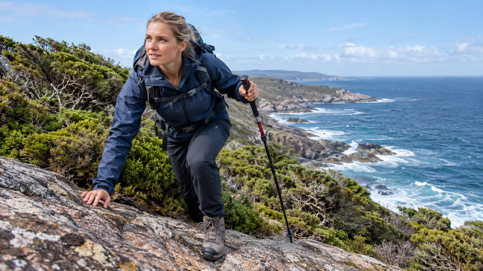
Southern Maine has a treasure trove of hikes, but the best southern Maine hikes do different jobs. Cape Elizabeth and Ogunquit handle easy shoreline walking. York and Biddeford trade surf for a small summit and forest trails. Saco and Scarborough give you marsh, woods, and flatter miles.
Which southern Maine trail fits your day?
Marginal Way is the easiest answer for visitors who want ocean scenery without route-finding. It’s a 1.25-mile paved coastal walk connecting downtown Ogunquit to Perkins Cove. The surface helps families, casual walkers, and anyone managing sore knees.
The tradeoff is solitude. You’ll share the path during busy periods, and nearby parking can cost more than the hike deserves. Still, if your group has mixed abilities, Marginal Way is worth the inconvenience.
Mount Agamenticus is the better choice for hiking southern Maine when you want a summit without giving up the whole day. The loop runs about 1.8 miles and takes about an hour, with only about 340 feet of gain, and the summit opens to 360-degree views of the mountains in the distance. It is an easy-to-moderate outing, not a serious climb.
However, don’t drive there expecting cliffs beside the surf. The mountain gives you a wide summit view, not big mileage or elevation. Marginal Way gives you immediate ocean contact.
Biddeford’s Clifford Park is another useful southern Maine option. It has nearly 5 miles of rocky, forested trails for various skill levels. Keep it in the plan when heat, wind, or heavy rain makes open shore less appealing.
Saco Heath offers a one-mile boardwalk and trail through the Saco Heath Bog. It’s an easy add-on for families and rainy weather, though the boardwalk can become slick. The setting is quieter than the headline coastal icons, and that’s the point.
The Eastern Trail has a 7.6-mile section through forests and Scarborough Marsh, the largest saltwater marsh in Maine. It suits hikers who want a longer, flatter outing and don’t need cliffs to prove they reached the coast. Bring bug protection during warm months and expect less surf drama.
Saco Bay Trails include about six trails totaling nearly 10 miles through woods, marshes, and coastal environments. They work well for flexible days because you can choose a short walk or link more miles. Use them when you want options close together rather than one famous trail with one crowded parking area.
For an easy starting point, see our guide to short hikes for beginners.
Coastal trails of Maine from Portland to the Midcoast
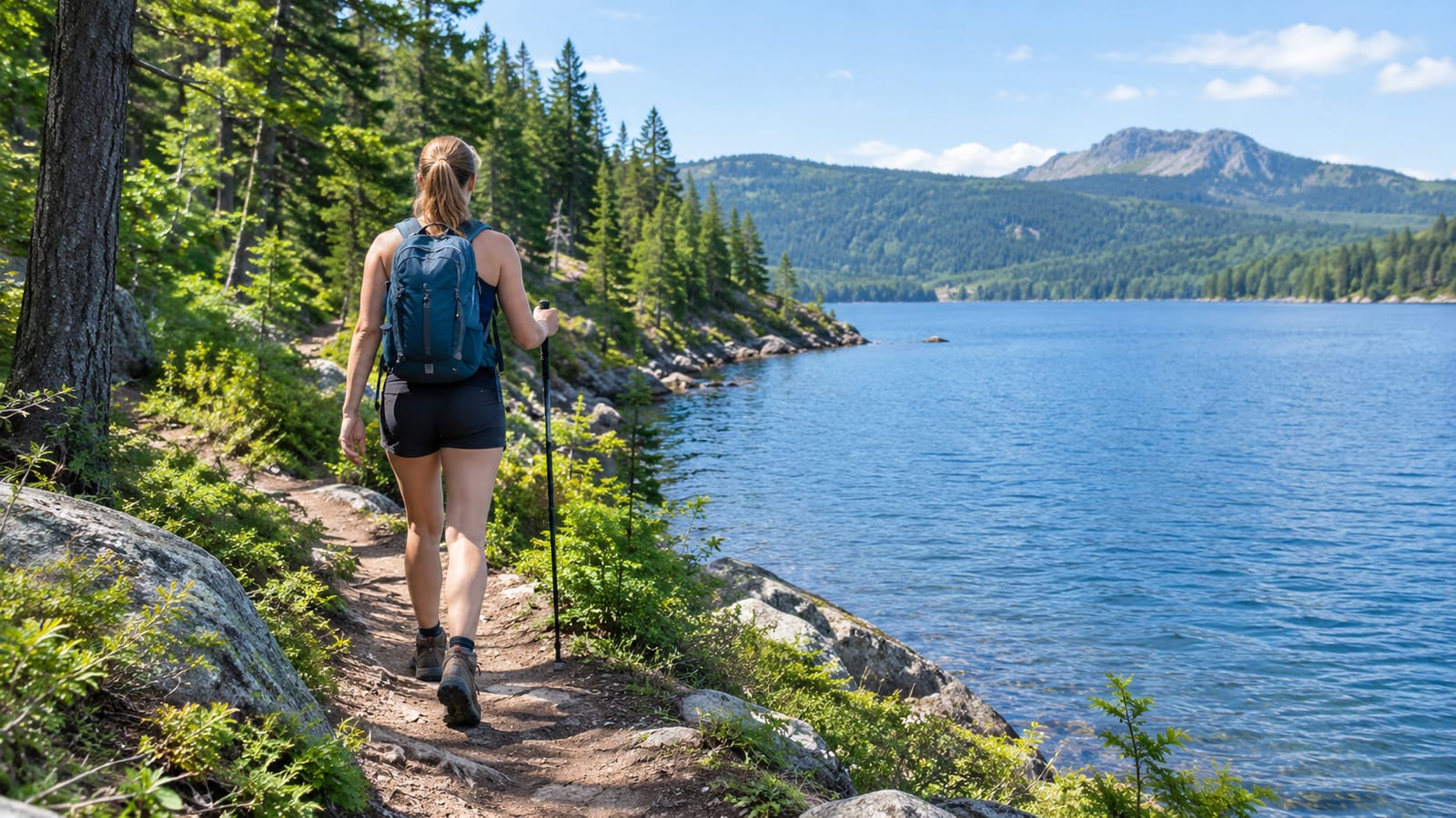
The smartest Portland-to-Midcoast plan uses clusters. Don’t bounce from Portland to Acadia and back in one day. That turns coastal hiking into a driving exercise with a few scenic parking stops.
Start near Portland with Fort Williams Park or Two Lights State Park in Cape Elizabeth. Fort Williams is the simplest lighthouse-and-history stop, with broad paths and coastal views around the fort ruins. It’s busy in summer, so early arrival helps.
Two Lights is smaller and easier to pair with another stop. It suits families who want rocky shore, tide pools, and lighthouse scenery without a long route. Skip it as a full-day destination. There isn’t enough trail for that.
Which Midcoast cluster should you choose?
Then choose one Midcoast cluster:
- Harpswell: Pick Devil’s Back Trail for a 2.2-mile route across a narrow section of land. Add Cliff Trail when you want stronger open-water views.
- Boothbay: Ovens Mouth Preserve is a coastal trail system with over 5 miles of trails. It’s useful when you want woods, tidal narrows, and several route choices.
- Phippsburg: Wilbur Preserve at Cox’s Head is a short stop at 0.60 miles round trip. Keep it for a travel day or a group that has already spent its energy elsewhere.
- Georgetown: Reid State Park is the beach-and-dunes choice. The walking is easy, but the scenery leans toward broad sand and marsh rather than cliffs.
- Pemaquid area: Add a compact rocky-coast stop around Pemaquid Point when the lighthouse and ledges matter more than mileage. Watch footing on wet rock and keep the route short in bad weather.
The coastal trails of Maine also include water routes. The Maine Island Trail is a 375-mile water trail connecting 240 sites and 227 shoreside resources along the Maine coast. It’s for paddlers and small-craft travelers, not a substitute for a walking trail, but it shows how scattered this coastline is. You need a plan for access, tides, weather, and overnight options.
Rocky coastline, ocean views, and cliff-top overlooks
Cliff Trail in Harpswell gives the cleanest short answer for dramatic rock without a full destination trip. Its 150-foot cliffs over Long Reach are enough to justify the stop. The catch is obvious once the rock gets wet: traction matters, and the edge does not care how good your camera angle is.
Acadia offers more range. Ocean Path is an easy route with a 4.1-mile length, 351 feet of elevation gain, and an estimated 1.5 to 2 hours. It gives first-time visitors a manageable way to see granite shore and surf. Ocean Path becomes less pleasant when the parking area fills and people crowd the viewpoints. Start early if you want to hear the water instead of everyone’s route recap.
Which Acadia trail works for your comfort level?
Great Head Trail is the moderate Acadia choice for ocean views without iron rungs. It runs 1.3 to 2 miles, gains 300 feet, and takes about 2 to 4 hours. Parking is available at the Sand Beach areas, but congestion and limited parking are common from July through August between 9 a.m. and 3 p.m.
Gorham Mountain gives you another exposed Acadia option. The National Park Service puts the loop at about 1 to 3 hours. One hiker's trip report logs a shorter Gorham route at 1.8 miles with 450 feet of gain, so check which version you are walking before you plan the day. It earns its place for a mountain view with coastal rock, though wind can make the summit feel less friendly than the map suggests.
The Beehive Trail is the technical choice. It covers 2.4 kilometers, gains 155 meters, and can take 1 to 3 hours depending on crowds and waiting. Iron rungs and exposure make it a poor fit for anyone who freezes on heights. The trailhead has congestion and limited parking during summer from 9 a.m. to 3 p.m.
The National Park Service information for Acadia is the place to check conditions, closures, and seasonal access before you commit.
Acadia’s Cadillac Mountain rises to 1,530 feet. The Cadillac South Ridge Trail is 6.5 miles. Those figures describe a bigger outing than a quick shoreline walk, so plan food, layers, and daylight accordingly.
Coastal hikes in Maine with easy parking and trailheads
Parking can decide the hike before your boots touch dirt. A trail with simple access is often more useful than a better view that requires circling a full lot.
Mount Battie Trail in Camden Hills State Park starts at its own parking lot. The route is 1.8 kilometers with 180 meters of elevation gain. It gives you a fast bay overlook and works for hikers who want a climb without spending the whole day on a mountain.
You can also reach the view by road. That makes Mount Battie a good family compromise when one person wants a hike and another person has already spent their patience.
Marginal Way is easy to locate because it connects two obvious town destinations. The problem is cost and crowding around Ogunquit. It’s still worth choosing if you’re already in town.
Acadia is harder during the busy season. The Beehive and Great Head trailheads both face limited parking during peak summer hours. Cutler Coast Public Reserved Land is also busy, especially on weekends from 9 a.m. to 4 p.m. If the lot is full there, choose another trail instead of inventing a shoulder-side parking plan.
That rule saves a hike and possibly your vehicle. A crowded trailhead is a bailout point, not a challenge.
Harpswell trails and other quiet coastal hikes
Harpswell is the near-Portland answer for people who want coves and working waterfront without the Marginal Way crowd. Devil’s Back Trail covers 2.2 miles and gives you a compact outing across a narrow coastal landscape. It’s worth the drive when you want variety in a short day.
Cliff Trail adds the stronger ledge views. Keep both in the same trip if weather and daylight allow, but don’t assume every Harpswell trailhead sits beside the next one. You’ll need to drive between segments.
Ovens Mouth Preserve in Boothbay holds over 5 miles of hiking trails. The preserve is a good middle ground between a tiny viewpoint walk and a demanding destination hike. You get tidal water, woods, and enough route choice to adjust for rain or a tired group.
Boot Head Preserve in Lubec gives you a 2½-mile lollipop loop over a headland. It visits the cobble beaches at Boot Cove and Brook Cove and skirts a peat bog. Choose it for remote coastal texture and quieter walking. Skip it when your itinerary can’t absorb the drive to Lubec.
Great Wass Island’s Little Cape Point Trail leads to Cape Cove and Little Cape Point. A marked but trailless scramble reaches Mud Hole Point, with the Mud Hole Trail returning to Black Duck Cove Road. That scramble deserves respect. A marked route can still include awkward rock, wet footing, and no clean shortcut back.
Other quieter options include:
- Heritage Trail in Machias: A three-mile trail along the Machias River passing the rapids at Munson’s Pitch. It’s a river outing with coastal-region character, not an ocean-cliff hike.
- Shoreline Bluffs Trail near Calais: A 2½-mile loop when added to the Devil’s Head Trail. Choose it for bluffs and open space, but check weather before heading out.
- Beech Cliff and Beech Mountain Loops in Southwest Harbor: A stronger choice when you want Acadia-area views with more woodland and climbing. It’s a separate outing from the easy shore paths.
Maine island hiking destinations
Monhegan Island Trails are the strongest island choice for exposed cliffs and a genuine break from mainland routines. They’re also the easiest to mishandle.
Ferry schedules control the day. Weather can cancel the crossing or turn the island walk into a cold, wet negotiation. Food, lodging, and limited services raise the cost of a mistake.
Go to Monhegan when the island itself is the reason for the trip. Don’t use it as an impulse add-on after a mainland hike. Carry a rain layer, water, and a backup plan for a shorter walk if wind or fog removes the cliff views.
The Maine Island Trail offers a much larger island network, but it’s built around water access. The Maine Island Trail suits paddlers with boats, tide knowledge, and flexible plans. It does not solve a walking hiker’s ferry problem.
Acadia’s islands and headlands are easier to fold into a land-based itinerary. They still bring crowds, fees, and exposed terrain. Monhegan feels more removed, but that feeling comes with fewer ways to fix a bad day.
Which coastal hikes work in the rain?
Rain changes the ranking. Open ledges become slick, cliff views disappear into gray, and a beach can turn from pleasant to miserable once wind gets involved.
Use sheltered woods, marsh boardwalks, and short shoreline routes during steady rain:
- Saco Heath: The one-mile boardwalk and trail give you a controlled, easy outing. Watch for slippery boards.
- Rachel Carson National Wildlife Refuge: Choose it for marsh, birds, and low-stress walking. It’s the best rainy-day pick when dramatic ocean views are optional.
- Clifford Park: Nearly 5 miles of rocky forest trails give you room to shorten or extend the outing. Mud and slick roots are the price.
- Marginal Way: Keep it for light rain when the wind is manageable. The paved surface helps, but exposed shore still means spray and gusts.
- Ovens Mouth Preserve: Use the woods and tidal views, but expect roots, mud, and wet rock.
Skip Beehive, Great Head, and exposed cliff routes during heavy rain or strong wind. The views won’t improve because you got wetter. Save them for a clearer window and use a nearby sheltered trail as your bailout.
A practical comparison of trail needs and tradeoffs
| If you care most about… | Choose | Pack or plan for | Skip it when… |
|---|---|---|---|
| Easy ocean access | Marginal Way | Comfortable shoes and a rain layer | You need solitude |
| A short southern Maine summit | Mount Agamenticus | Shoes with grip and water | Your group wants immediate shoreline |
| Rocky ledges | Cliff Trail, Harpswell | Traction and careful edge awareness | Rock is wet or wind is strong |
| Quiet coves | Harpswell Coastal Trails | Driving time between trailheads | You want one continuous route |
| Beach walking | Reid State Park | Wind protection and tide awareness | Seasonal access does not fit your dates |
| Marsh and wildlife | Rachel Carson refuge | Bug protection and binoculars | You need cliffs and surf |
| Island exposure | Monhegan | Ferry backup, food, layers, and lodging plans | Weather is uncertain |
| Destination-scale hiking | Acadia | Parking plan, layers, and extra time | You only have a few spare hours |
| Longer flat miles | Eastern Trail | Bug protection and water | You want a mountain view |
Check tide timing near beaches, ledges, tidal narrows, and any route where the water can cut off a return. Keep dogs leashed where posted, especially near cliffs, wildlife, and crowded paths.
Accessibility varies by trail. Marginal Way is the clearest choice for a paved coastal walk. Boardwalks and broad park paths can work for some mobility needs, but roots, rock, grades, and wet surfaces limit many other routes.
Restrooms and seasonal closures also vary. Treat them as trailhead details to confirm before leaving, especially for state parks, wildlife areas, ferries, and island trips. Carry water and a small food buffer even on short routes. A scenic trail can still have no useful service once you leave the parking area.
Which coastal hike should you choose?
For first-time visitors: Choose Marginal Way. It gives you the coast quickly, keeps navigation simple, and leaves time for another stop.
For families: Choose Marginal Way, Reid State Park, or Rachel Carson National Wildlife Refuge. Pick based on whether your group wants pavement, sand, or marsh. Don’t force a cliff trail on children who are still learning where edges matter.
For budget travelers: Choose Harpswell Coastal Trails or Clifford Park. Both let you build a day around shorter walks without paying for a major destination experience. You’ll spend more time driving in Harpswell, but less time fighting the main tourist circuit.
For serious hikers: Choose Cutler Coast for a more remote coastal day or Acadia for a full trip. At Cutler Coast, the Black Point Brook Loop crosses rocky cliffside to a small cobble beach, and the Fairy Head Loop gives you the most shorefront hiking on the reserve. The 2.8-mile Coastal Trail to Ocean is the short version, a forested walk to one ocean overlook in about 2 hours. The area is busy on weekends from 9 a.m. to 4 p.m., so arrive with a second plan.
For photographers: Choose Cliff Trail in Harpswell for ledges, Marginal Way for surf, or Acadia for granite and changing light. Fog can erase the famous view. Give yourself another day instead of pretending gray sky is a personal failure.
For island seekers: Choose Monhegan only when you can build the trip around ferry timing and weather. It rewards planning and punishes casual optimism.
For limited daylight: Choose Marginal Way, Wilbur Preserve at Cox’s Head, or Mount Battie. Wilbur Preserve is 0.60 miles round trip, making it a useful short stop near Phippsburg. Mount Battie gives a faster climb and a bigger overlook, but the road access means you can shorten the effort if needed.
For most visitors, the right plan is two or three modest walks across several days. Keep Marginal Way for easy ocean contact, add Mount Agamenticus for a short summit or Harpswell for a more rugged trail, and save Acadia or Monhegan for a trip that can absorb their crowds and logistics.
FAQ
Are Maine coastal hikes suitable for beginners?
Many are, if you choose the surface carefully. Marginal Way, Rachel Carson National Wildlife Refuge, and Reid State Park are more forgiving than exposed ledges or iron-rung routes.
Can you hike Maine’s coast without a car?
You can manage some town-based walks, especially Marginal Way, but most coastal trail networks require a drive between trailheads. Island hikes add ferry schedules to the problem.
Do you need hiking boots for Maine coastal trails?
You don’t need stiff boots for paved paths or firm beach walking. Use shoes with dependable grip for wet granite, roots, mud, and steep forest trails.
What should you do if fog blocks the ocean views?
Switch to a marsh, woodland, or sheltered coastal route and keep the exposed viewpoint for another window. Fog is normal on the Maine coast, but standing on wet rock for a view you can’t see is poor use of a day.
Are dogs allowed on these coastal trails?
Rules vary by park, preserve, refuge, and season. Check the trail’s current rules before you go, and keep your dog leashed near cliffs, wildlife, roads, and crowded paths.
