
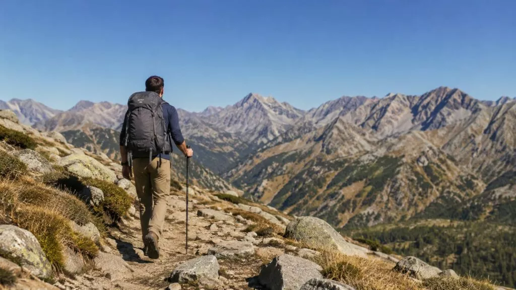
The best Boulder, CO hiking trails make you work for the view, and the good ones pay you back fast. Start with Royal Arch from Chautauqua for the classic Flatirons finish. Pick Mount Sanitas for a short, hard workout, and drive to Eldorado Canyon for quieter, more varied terrain. Treat parking, heat, lightning, and loose rock as part of the hike, not chores to sort out at the trailhead.
Boulder makes hiking easy and hard at the same time. The city's Open Space and Mountain Parks system (OSMP) manages more than 155 miles of trails. Yet a few famous ones take most of the traffic. For bigger mountain routes across the state, see our guide to the best hiking trails in Colorado. This page stays close to town and gets specific.
Which Boulder CO hiking trails are worth your time?
Five hikes cover almost everything a visitor or new local wants from Boulder. Each gives a strong return on effort, and each has its own catch.
- Royal Arch from Chautauqua: the classic Boulder hike. Steep, rocky, and finished by a stone arch you'll remember.
- Mount Sanitas Loop: the best short workout near downtown. Rougher and harder than the map suggests.
- Green Mountain West Ridge: the easiest way to a big summit view of the Continental Divide and the plains.
- Rattlesnake Gulch in Eldorado Canyon: the escape from Chautauqua crowds, with history, some pine shade, and a steady climb.
- First and Second Flatiron trails: the best Flatirons introduction, with close-up rock and easy places to turn around.
The mileage on all five looks modest. However, Boulder hiking trails pack a lot of climbing into short distances, and the footing is often rock steps and loose gravel. Plan by elevation gain and trail surface, and the day goes much better.
Mesa Trail and Royal Arch are the classic choice
Royal Arch is the hike to do if you only have one morning. You start at Chautauqua, climb into the trees below the Flatirons, and finish under a natural stone arch. The city and plains spread out below. Trip logs put it at roughly 3.3 to 3.5 miles round trip with more than a thousand feet of gain, topping out near 6,920 feet.
That gain comes in rough steps instead of a gentle grade. Expect tall rock stairs, loose gravel on the steeper pitches, and a few spots where you'll want a hand on the rock. The trail also plays a small trick. You climb hard to Sentinel Pass, lose elevation, and then climb again to the arch.
Sentinel Pass is your natural bailout point. If heat is building, clouds are stacking over the foothills, or someone is fading, turn around there. The view is smaller, but you skip the steepest final climb and the descent that comes with it.
Use the Mesa Trail for a longer or gentler day
The Mesa Trail runs south from Chautauqua along the base of the foothills and links most of the Flatirons trails. It rolls more than the name suggests, with steady ups and downs through meadow and pine. Use it to add trail miles after Royal Arch. Or walk a section on a day when you want views without stair-climbing.
Start early on either route. Chautauqua parking fills, the trails take the morning sun, and summer storms tend to build by afternoon. An early start solves all three problems at once.
Mount Sanitas is a short hike that feels like leg day
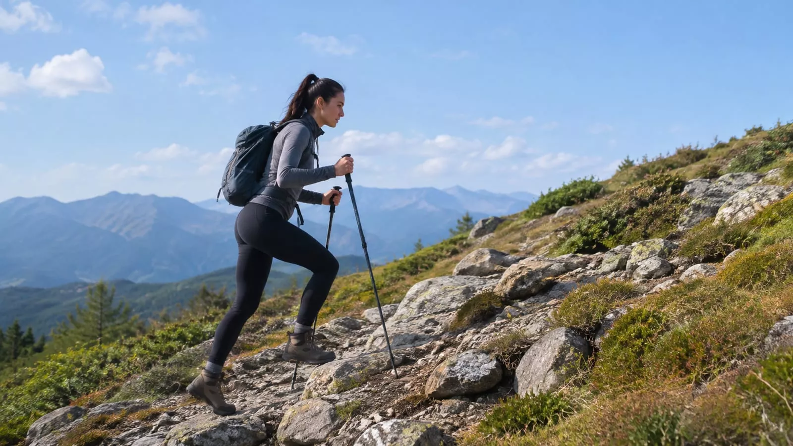
Mount Sanitas is where Boulder locals go to punish their legs before work. The loop is short, but it climbs well over a thousand feet, and most of that comes on the rocky ridge. That much gain on that little distance is the whole story.
The Mount Sanitas Trail climbs a steep spine of rock steps, slabs, and loose sections. On a few moves you'll use your hands. From the summit, the East Ridge drops steeply on loose dirt and rock. It then joins the Sanitas Valley Trail, a wide, smooth path back to the trailhead.
Which direction works best?
Go up the rocky Mount Sanitas Trail and come down toward the valley. Rock steps are easier and safer to climb than to descend, especially on tired legs. Doing it the other way saves the steep, slick stuff for shaky quads, and that's how ankles get rolled.
Skip Sanitas if:
- You're new to hiking and want a pleasant first outing.
- Your knees complain on steep downhills.
- It's a hot afternoon. The ridge has little shade.
- Ice covers the steps and you have no traction.
For an easier taste of the area, walk the Sanitas Valley Trail out and back. You get the same foothills scenery without the scramble.
Chautauqua and the Flatirons bring big scenery and big crowds
Chautauqua Park is the front door to the Flatirons, and it feels like one on a sunny Saturday. Still, the scenery justifies the crowds. You walk through an open meadow straight toward huge tilted slabs of rock, and trails branch off in every direction.
Here's how the main options compare:
- Chautauqua Trail: a gentle climb through the meadow. Good for warming up, families, or a short outing with big views.
- First Flatiron Trail: steep and rocky, climbing to the base of the first slab. The effort is real, but the distance is short.
- Second Flatiron Trail: similar character, with its own close-up views. Often combined with the First Flatiron.
- Flatirons Loop: links the bases of the first and second slabs so you don't retrace your steps.
This area's strength is flexibility. Junctions come often, so you can turn around whenever heat, crowds, or your legs say so. Its weakness is the same web of trails, which confuses first-timers. Carry an offline map.
Hiking the Flatirons is different from climbing them
Hiking trails reach the base of the rock and wrap around it. The slab faces themselves are technical climbing terrain, and people get hurt scrambling up in sneakers. Also, parts of the Flatirons close seasonally to protect nesting raptors, usually in spring and early summer. Check OSMP closures before you go.
Green Mountain West Ridge earns the best summit view
Green Mountain gives you Boulder's best summit panorama: the Indian Peaks and the Continental Divide to the west, the city and plains to the east. The West Ridge is the easiest way to the top. It starts off Flagstaff Road, high above town, so the drive does a good share of the climbing for you.
The trail climbs steadily through ponderosa pine to a rocky summit. It's a sustained effort, but it skips the tall steps of Royal Arch and the scrambling on Sanitas. That makes it a good pick for hikers who want a real summit without technical footing.
Want the bigger climb? Start low
If you want Green Mountain to feel like a mountain, start from below instead. Routes up from Chautauqua and Gregory Canyon, such as the Ranger Trail, gain far more elevation. Expect them to take most of a morning. The West Ridge trades that work for a winding drive and limited parking.
Either way, the summit is exposed. Lightning is a real hazard on summer afternoons, and wind on top can feel much colder than the trailhead. Pack a wind layer and plan to be off the summit before clouds build.
Eldorado Canyon is the better escape from crowds
Eldorado Canyon State Park sits just south of Boulder and feels like a different place. Tall golden cliffs, climbers on the walls, and South Boulder Creek on the canyon floor make it more varied than the Flatirons. On weekdays it's often noticeably quieter.
Rattlesnake Gulch is the hike to pick here. It climbs steadily to the ruins of the Crags Hotel, an old resort that burned down long ago. The trail then loops higher for views west toward the Divide. You'll often hear trains on the rail line cut into the canyon wall. Meanwhile, the grade stays steady, and pine shade helps on warm mornings.
Other canyon options:
- Fowler Trail: short, wide, and mostly flat. Good for families, older hikers, or a slow walk with cliff views.
- Streamside Trail: a short walk along the creek, and your best bet for cooler air on a hot day.
- Eldorado Canyon Trail: a longer, harder climb with more solitude for hikers who want a bigger day.
Eldorado is a state park, so city OSMP rules don't cover entry. You need a vehicle pass, and busy days have required timed-entry reservations. Check Eldorado Canyon State Park on the Colorado Parks and Wildlife site before driving out.
Which Boulder hike fits you?
Match the trail to your legs, your time, and your patience for crowds. Most Boulder trails reward fitness more than gear, so be honest about your legs before you pick. A new pair of boots won't shorten the Sanitas ridge.
| Hiker | Pick | Why it fits | Watch for |
|---|---|---|---|
| First visit, one morning | Royal Arch | Classic Flatirons payoff | Rock steps, early parking |
| First-timer who wants easy | Chautauqua Trail, then a Flatiron base if you feel good | Turn around anytime | Crowds, confusing junctions |
| Families with young kids | Fowler Trail or Flatirons Vista North | Short and gentle | Sun, little shade |
| Summit seekers | Green Mountain West Ridge | Best panorama | Exposed summit, lightning |
| Hard training | Mount Sanitas Loop | Lots of climbing close to town | Steep, loose descent |
| Solitude seekers | Rattlesnake Gulch on a weekday | Quieter canyon | Park entry rules |
Flatirons Vista North, at just over a mile, is a short grassland walk with wide views back toward the foothills. For families, it's a better first outing than any of the steep Chautauqua trails. Our list of short, scenic hikes for beginners has more ideas if a new hiker needs a gentle start.
Parking, fees, and shuttles can make or break the day
Most bad Boulder hiking days start in a parking lot. So plan the arrival as carefully as the route.
- Chautauqua: The lot is small and fills early. Paid parking applies on busy days. A free Park to Park shuttle has run on summer weekends and holidays from lots elsewhere in town. Ride it and skip the circling.
- Mount Sanitas: The trailhead lot on Mapleton Avenue holds few cars, with roadside overflow nearby. Obey the neighborhood parking signs, because a ticket is a dull way to end a good hike.
- Flagstaff Road and Green Mountain West Ridge: OSMP charges a parking fee at some mountain trailheads for vehicles registered outside Boulder County. Check the current rules and pay before you hike.
- Eldorado Canyon: You need a vehicle pass, plus timed entry on busy days. The road through Eldorado Springs is narrow, and when the park is full, you wait or leave.
Always have a backup trail
Pick a second hike before you leave home. If Chautauqua is full, the Mesa Trail has other trailheads farther south. If Eldorado is turning cars away, you're close enough to Boulder to switch plans. With a backup, a full lot costs you a short drive. Without one, it can cost the morning.
Weather and altitude deserve more respect than the mileage
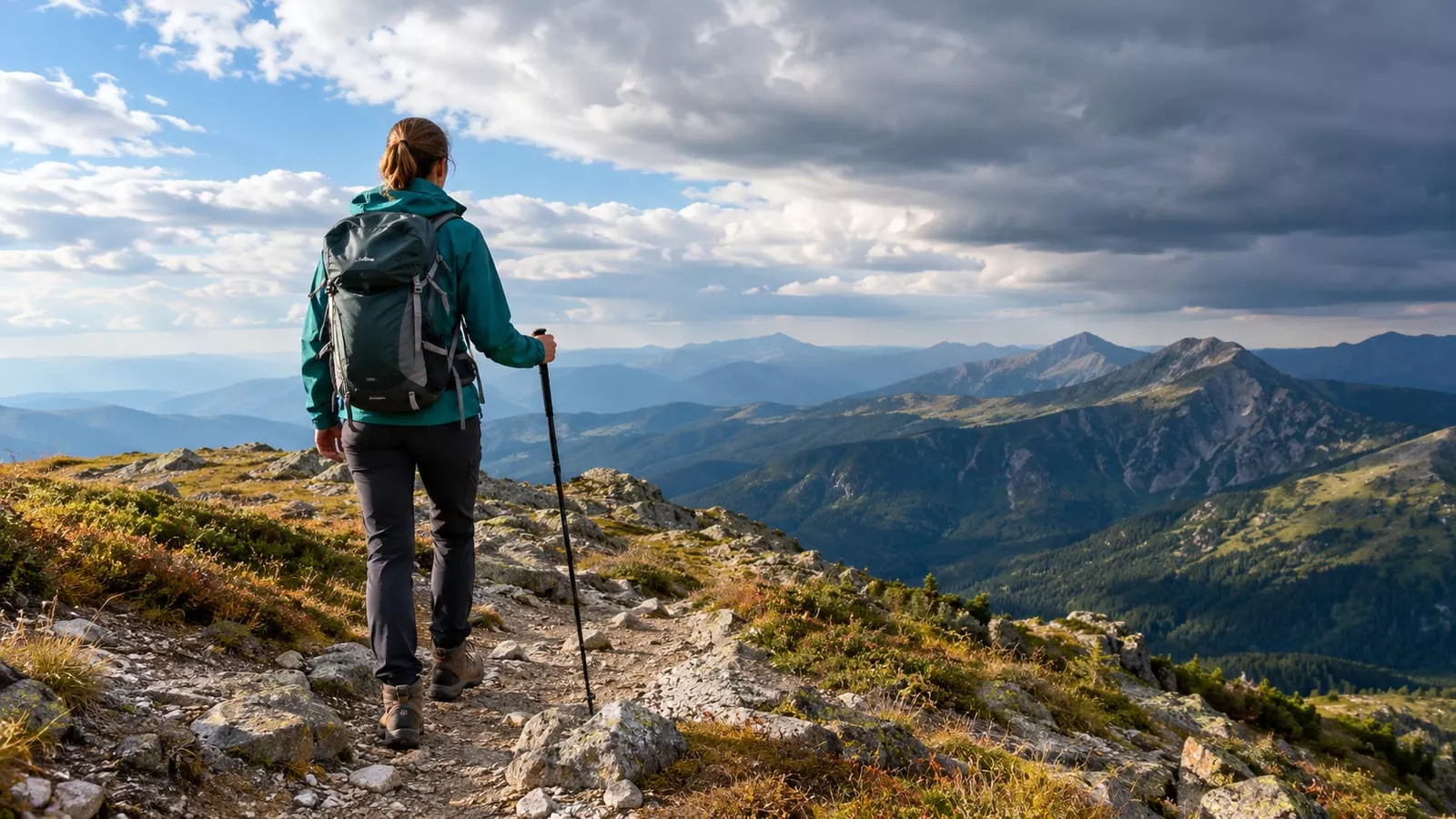
Boulder trails look short on paper, but conditions do the real work. Even Flagstaff Mountain, a humble summit, only reaches about seven thousand feet. That's modest by Colorado standards. Still, if you flew in from sea level yesterday, you'll feel it on the first steep pitch. Expect shortness of breath, a headache, or both.
Here's what changes the day:
- Dry heat: Sweat evaporates fast, so you never feel soaked and fall behind on water. Many Flatirons trails take full sun with patchy shade.
- Lightning: Summer afternoons often bring storms that build fast. Ridges and summits like Green Mountain and Sanitas are the worst places to be. Turn around when clouds start towering, before the first thunder makes the decision for you.
- Snow and ice: Winter and shoulder-season bring packed ice on shaded rock steps. A sunny, dry day in town tells you little about the trail.
- Wind: Boulder gets strong winter winds off the mountains, and summits catch the worst of them.
- Mud: Spring melt turns clay trails slick, and OSMP closes some trails when they're too wet.
- Sun: Thinner air means stronger sun. You burn faster than you would at home.
When you do hike in mud, walk straight through the middle. Stepping around puddles widens the trail and kills the plants along its edges.
Footwear and gear that help on Boulder trails
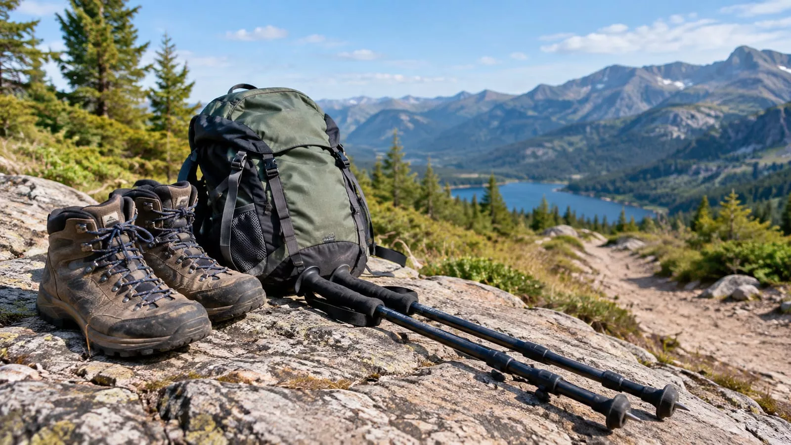
Boulder's terrain means steep rock, loose gravel, and weather that changes by the hour. Pack for those and leave the rest home.
- Shoes with real tread: Trail runners with sticky rubber and deep lugs handle most of these trails. Light hiking boots help if you want more support on the Sanitas or Royal Arch descents. Smooth-soled sneakers skid on gravel over rock.
- Trekking poles: worth the weight on steep descents like Royal Arch and Sanitas. On the flat Chautauqua meadow, you can leave them strapped to your pack.
- Traction: microspikes for winter and early spring. Icy rock steps turn a short hike into a long, careful crawl.
- Water: carry more than the mileage suggests. Most of these trails have no reliable water, so a filter rarely earns its place.
- Layers: a wind shell for summits and a light rain jacket for summer afternoons.
- Sun protection: a brimmed hat, sunglasses, and sunscreen you reapply on top, where the shade runs out.
- Navigation: an offline map, mainly for the Chautauqua junctions.
- Headlamp: if there's any chance you'll finish near dusk.
None of the hikes on this page need technical gear. You need grip, water, and a layer.
Trail etiquette protects the hike and the land
Boulder's open space gets heavy use, and the trails only stay this good if people stay on them. Shortcuts across switchbacks and side paths around rock steps erode the slopes fast. Those scars take years to heal, so stick to the tread even when it's muddy or rocky.
- Dogs: OSMP rules vary by trail. Some allow dogs under voice and sight control with a city tag. Others require leashes, and a few ban dogs. Eldorado Canyon requires leashes. Check each trail's rules and pack out the bag.
- Yielding: Step aside for uphill hikers on narrow sections, since they're working harder. Horses get the right of way too.
- Wildlife: Mule deer, black bears, and mountain lions live here. The deer on the Chautauqua meadow act tame, but give them plenty of room anyway. Keep food packed away and dogs close.
- Leave No Trace: Pack out everything, including orange peels and tissues. Dry foothills air breaks them down far slower than a damp forest floor would.
- Closures: Respect raptor, wildlife, and mud closures. They protect the reasons you came.
FAQ
When is the best season to hike in Boulder?
Fall suits most hikers best. Temperatures drop, afternoon storms ease off, and the scrub oak on the foothills turns color. Spring trades wildflowers for mud, and summer works if you're back at the car by midday. Winter is underrated on sunny days, as long as you carry traction.
Are there rattlesnakes on Boulder trails?
Yes. Prairie rattlesnakes live on the lower, warmer trails around Boulder, including Eldorado Canyon. The gulch's name isn't just decoration. Watch where you put your hands on rock ledges, and step back if you hear a rattle, because most bites happen when people try to move or poke a snake.
Can you hike in Boulder without a car?
Mostly, yes. The Sanitas trailhead is a short walk from downtown, and you can reach Chautauqua by bike, bus, or the seasonal shuttle. Eldorado Canyon and the Flagstaff Road trailheads are much harder to reach without a car. Save those for a day when you have one.
Is Boulder a good warm-up before hiking higher in Colorado?
Yes, and it's a smarter first day than driving to a high trailhead the morning after you land. Some steep foothills hiking first gives your body time to adjust to thinner air. After that, the Bear Lake hikes in Rocky Mountain National Park make a sensible next step up.
