
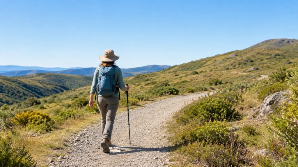
Stanford Dish is a worthwhile free workout hike if you want broad Bay Area views and can handle a steep, sun-exposed service road. The Stanford Dish hiking trail is mostly paved, has little shade, and feels harder than its mileage suggests because the climbing stays with you. Go early, carry more water than you think you need, and check same-day access before driving over.
Stanford Dish at a Glance
The Dish is a radio telescope in the Stanford foothills. It’s also the center of a popular walking loop on university land, with open views toward the Bay Area and a steady hill workout under your feet.
This is a managed service-road walk, not a quiet wilderness trail. You’ll get pavement, gravel, gates, wind, runners, families, and occasional research activity. You get easy-to-follow footing and good views, but shade and solitude are limited.
| Trail feature | What to expect |
|---|---|
| Cost | Free |
| Surface | Mostly paved service road with some gravel |
| Main challenge | Sustained climbing and sun exposure |
| Views | Broad Bay Area and foothill views |
| Shade | Limited |
| Facilities | Plan as if you’ll have none on the route |
| Best use | A morning workout, casual hike, or short conditioning walk |
| Poor fit | Hot afternoons, stroller users facing steep grades, and anyone expecting a forest trail |
The telescope itself is a 46-meter-diameter radio dish built in 1961. You’ll see the structure from the route. The walk offers no museum visit or research-facility tour. The university still uses the surrounding property, so hikers need to stay on the marked route and follow the gates.
For official access details, check Stanford’s Dish information before you leave. Rules and closures can change without much warning.
Is the Stanford Dish hiking trail worth it?
Yes, if you want a free climb with reliable views and don’t need shade or wilderness quiet. The route earns its popularity through convenience and scenery, not through varied terrain.
The Stanford Dish hiking trail works well for:
- A brisk morning walk.
- A first hill workout.
- Families with older children who can handle steady grades.
- Hikers building strength before longer Bay Area climbs.
- Visitors who want views without committing to a remote trailhead.
It’s a weaker choice for:
- A hot afternoon outing.
- Dogs, unless current signs clearly permit them.
- A stroller with small wheels.
- Anyone looking for creek crossings, forest cover, or technical trail.
- Hikers who forgot water and plan to improvise.
That last group has a familiar trailhead problem. A broad view can make a route look gentle from the parking area. The climb sorts that out quickly.
Route options, distance, and elevation
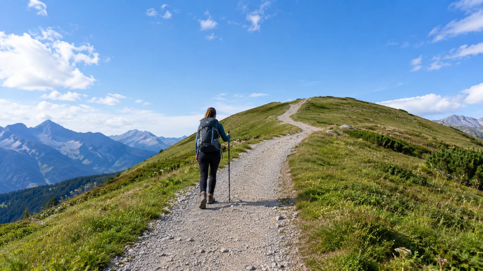
The main Dish loop starts at a gated entrance near Stanford Avenue and Junipero Serra Boulevard. From there, the route follows a broad service road around the radio telescope and returns toward the entrance.
The Dish loop has 452 feet of elevation gain. That climb is spread across the route, but it still includes long uphill stretches. Your legs will notice it more than the route map suggests.
Main loop
The full loop is the right choice if you want the complete workout and the widest range of views. Expect a several-mile walk with repeated uphill and downhill sections, mostly on pavement.
Walk in the direction allowed by the signs. The route may feel straightforward, but gates and one-way instructions can change how you complete the loop. Don’t cut across research areas or invent a shortcut because the road looks open.
At a steady walking pace, plan for a real morning outing rather than a quick stroll. Heat, photo stops, group size, and the uphill sections all change the time. Strong walkers will move faster, but nobody wins a prize for arriving at the car dehydrated.
Shorter out-and-back
If you’re testing your legs, walk from the entrance toward the first major views, then turn around before completing the loop. This gives you a useful hill session without locking you into the full circuit.
It’s also the sensible option for young hikers, visitors arriving late, or anyone dealing with heat. Keep the turnaround flexible. The route gets harder when the sun rises, not easier.
Connecting roads and access points
The Stanford foothills include university roads and other paths, but open-looking pavement does not mean public access. Use only signed entrances and routes. A connection that appears obvious on a map may cross restricted research property or lead to a closed gate.
The main practical access point is at the corner of Stanford Avenue and Junipero Serra Boulevard. You’ll see the small gated entrance as you approach. Check the official map and signs rather than relying on an old screenshot or a crowd-sourced route line.
What the trail feels like underfoot
The pavement makes the Dish approachable, but it does not make it easy. The route climbs in open sun, and the steady grade can load your calves before you expect it.
Most hikers should wear shoes with a firm, grippy sole. Road-running shoes can work in dry weather, but smooth casual sneakers are a poor bet on downhill sections or loose gravel. You don’t need heavy boots unless you already prefer them.
Expect these conditions:
- Hard pavement that sends more impact into tired feet.
- Gravel along road edges and on some sections.
- Limited shade for most of the walk.
- Wind on exposed ridges and open turns.
- Strong sun even when the air feels cool.
- More effort on the return if you start late.
The route can feel hotter than the weather report because you’re walking in open sun with little cover. Sweat management matters more than ankle support here. A thin shirt, a hat, and sunscreen will help more than a tall boot with a serious-looking sole.
Current access hours, trail status, and closures
The Dish trail is open from sunrise to sunset, with closing times changing seasonally. That does not mean the gate will be open every day or that every section will be available.
Before driving over, check Stanford’s current Dish notices and access page. Look for:
- Temporary gate closures.
- Maintenance work.
- Wildfire restrictions.
- Poor air quality or smoke warnings.
- Heat-related limits.
- Changes to the permitted route.
- Parking or neighborhood access restrictions.
The university’s Application for Use of University Foothill Lands also shows why access rules matter. This is working university land, not an unmanaged public preserve.
Check again on the day of your hike. A route can be open in the morning and restricted later because of heat, smoke, maintenance, or a university event. If the gate is closed, don’t climb over it. A locked gate is a decision already made for you.
Stanford Dish visitor rules
Follow the signs at the entrance and stay on the marked road. The property supports research, habitat work, and public recreation at the same time. Those uses only fit together if hikers keep their feet where they belong.
Plan on these basic rules:
- Enter only through a permitted gate.
- Stay on the signed trail.
- Close gates behind you if the sign instructs you to do so.
- Obey posted direction-of-travel rules.
- Keep clear of research equipment and restricted areas.
- Carry out all trash.
- Keep your group from blocking the road.
- Yield space to people moving uphill when the road narrows.
- Leave wildlife and plants alone.
- Follow current signs for dogs, bikes, and other restrictions.
Do not assume a dog is allowed because you see one in a social post. Access rules change, and the entrance signs control. If you’re bringing a dog, verify the current rule first. You can also choose a route from our guide to dog-friendly hiking trails instead of arguing with a gate.
The Dish is not the place for a speaker, an off-trail shortcut, or a group photo spread across the road. Keep moving traffic clear. The research staff and the next hiker both have places to be.
Parking and directions to the trailheads
The main entrance is at the corner of Stanford Avenue and Junipero Serra Boulevard in Stanford, California. Look for the small gated entrance rather than a dramatic trailhead sign. The setting is easy to miss if you’re watching traffic instead of the roadside.
Parking can be limited and neighborhood streets are not overflow lots. Don’t block driveways, narrow residential roads, gates, or emergency access. If legal parking is full, leave and try another plan. Circling the area adds traffic and rarely improves your mood.
Arriving early helps with three things:
- Finding a legal space.
- Starting before the sun gets strong.
- Avoiding the busiest part of the walking window.
Use a current map for driving directions, then trust the posted signs when you arrive. Mapping apps may send you toward a closed entrance or show a route that crosses land you cannot use.
What to wear and bring for the Dish
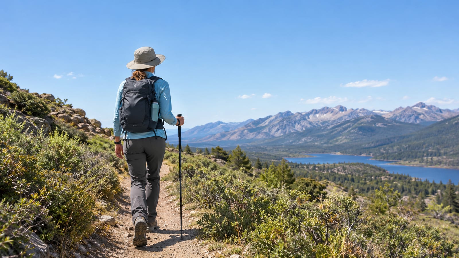
Keep your kit simple. The route does not need technical backpacking gear, but it does punish small oversights because shade and services are limited.
Bring:
- Grippy walking shoes.
- Water for the full outing, plus extra for hot weather.
- A brimmed hat and sunscreen.
- Sunglasses.
- A light layer for wind.
- A charged phone.
- A small snack if you’re hiking after breakfast.
- A paper map or saved route if your phone coverage becomes unreliable.
A breathable synthetic shirt works well on the climb. Cotton can feel fine at the gate and clammy halfway up. Bring a wind layer even on a warm day because exposed ridges can feel cooler once the breeze starts.
You don’t need trekking poles for a normal dry-weather walk, though they can help if downhill pavement bothers your knees. Keep them folded or controlled around other walkers. A pole swinging into someone’s shoulder is not trail etiquette.
Water, restrooms, and other facilities
Treat the Dish as a hike without dependable mid-route services. Carry your drinking water before you enter, and don’t plan on filling up beside the telescope.
Restroom availability can change with access conditions and nearby facilities. Check before you start, especially if you’re hiking with children. Once you’re on the loop, turning back may mean giving up part of the route.
There may be little practical shelter from sun or wind. A parked car is not a water plan, and a phone battery does not replace navigation or hydration. Pack for the whole walk from the gate to the gate.
Is Stanford Dish accessible?
The broad paved road helps some visitors, but pavement alone does not make the route fully accessible. The Dish includes sustained grades, exposed sections, gravel at the edges, and conditions that can become harder in heat or wind.
Strollers
A sturdy stroller with good brakes may handle some paved sections, but steep grades and the exposed setting make the full loop a poor casual stroller outing. Small wheels can struggle where gravel collects along the road edge.
If you bring a stroller, choose a cool time, keep the outing short, and be ready to turn around. A child carrier may be easier on the climbs, but it also adds heat and weight to the adult.
Wheelchairs and mobility devices
The paved surface is a useful start, but users need to assess the sustained grades, turning space, road traffic, and surface changes. Accessibility depends on the device, the weather, and the person using it.
Contact Stanford or check the current official access information before making a special trip. Do not rely on a route label that says “paved” and leaves out the hills. Smooth pavement can still be a serious barrier.
Different fitness levels
Fit walkers may finish the route comfortably. New hikers should treat it as a hill workout and choose a shorter out-and-back if needed.
Take breaks at the side of the road, not in the middle of the walking line. If someone in your group is struggling with heat, dizziness, or unusual fatigue, turn around early. The view will still be there another morning.
Best times to hike Stanford Dish safely
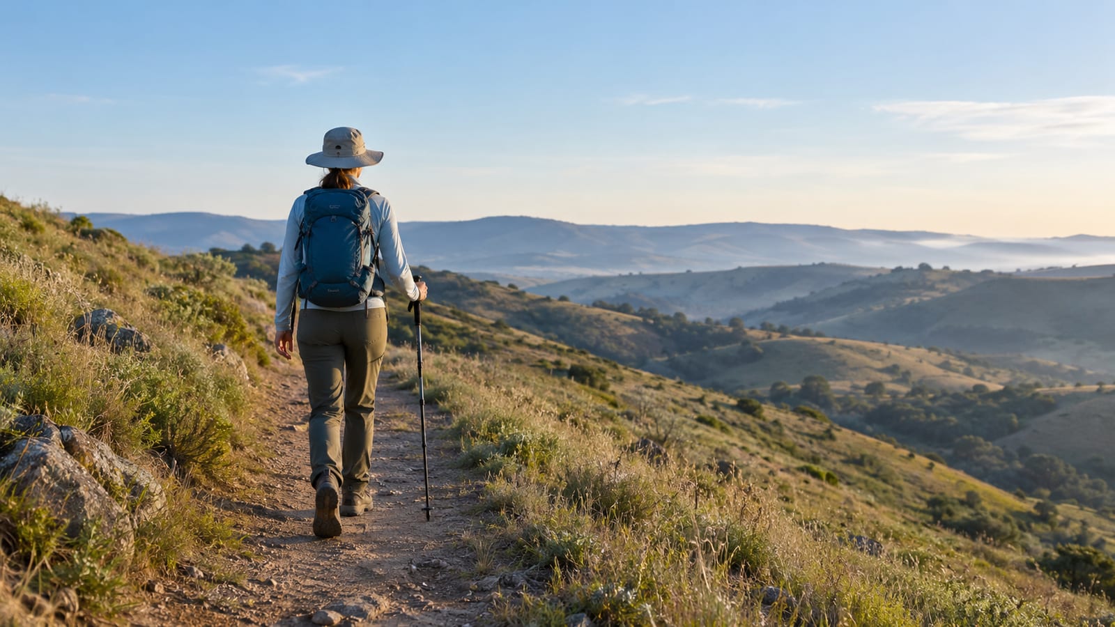
Early morning is the best default. You get cooler temperatures, softer light, less intense sun, and a better chance of finding legal parking before the busiest period.
Late afternoon can work if the route remains open and you have enough daylight. However, seasonal closing times change, and a slow group can run out of useful light sooner than expected. Start with plenty of time before sunset.
Avoid the middle of a hot day. The exposed pavement reflects heat, and the climb gives you few places to hide from it. Carry more water than you would for a shaded trail of similar length.
Wind can also change the experience. A breezy morning may feel comfortable on the climb, then turn cold on an exposed section. Bring a light layer instead of pretending the forecast controls every ridge.
Postpone the hike for:
- Wildfire smoke that makes breathing uncomfortable.
- A heat warning or extreme afternoon temperatures.
- Strong winds that make the exposed road unpleasant.
- Wet conditions that reduce traction on gravel.
- A closure or restricted gate.
- Poor daylight for your group’s pace.
For more sunrise planning ideas, see our guide to sunrise hikes in the US. The same rule applies here: early starts are useful only if you can reach the trailhead safely and legally.
Nearby walks when the Dish is closed or too busy
When the Dish is closed, don’t force the day around one gate. Pick a route that matches the reason you came.
- For shade: Choose a wooded preserve or creekside walk in the wider Bay Area. You’ll trade the Dish’s open views for cooler trail conditions.
- For a shorter workout: Find a local park loop with a clear turnaround. Short hills are easier to manage when the heat is already up.
- For children: Use a route with shade, rest areas, and simpler navigation. Our guide to kid-friendly hiking adventures covers the planning details that matter after the novelty wears off.
- For dogs: Pick a confirmed dog-friendly trail rather than assuming the Dish allows access.
- For a quieter outing: Choose a less famous foothill preserve and accept that the views may be smaller.
- For smoke or extreme heat: Skip the exposed hills and use an urban greenway or postpone the hike.
The best backup trail is the one you can legally enter, park near, and finish without cooking your group. A famous route is not automatically the right route for the weather.
FAQ
Is the Stanford Dish a natural feature?
No. The Dish is a radio telescope built for research. The hiking route circles the surrounding university foothill land and gives visitors views of the telescope and the Bay Area.
Can you hike the Dish after sunset?
No. The trail closes with the daylight window, and seasonal closing times vary. Leave enough time to finish before the gate closes instead of treating dusk as extra hiking time.
Are bikes allowed on the Stanford Dish loop?
Do not assume they are. Check the current entrance signs and Stanford’s official access information before bringing a bike. The road is shared by walkers, and posted restrictions control.
Should you hike the Dish in rainy weather?
Only if the route is open and you’re comfortable with slick pavement, wet gravel, and stronger wind. Rain removes some of the dust but does not flatten the hills. For most casual hikers, a dry morning is the better choice.
Is the Dish a good first hike near Stanford?
It’s a good first hill walk for someone who understands the need for water, sun protection, and a flexible turnaround. It’s a poor first hike for anyone expecting shade, facilities, or a flat stroll. Start early and keep the first outing shorter if you’re unsure.
