
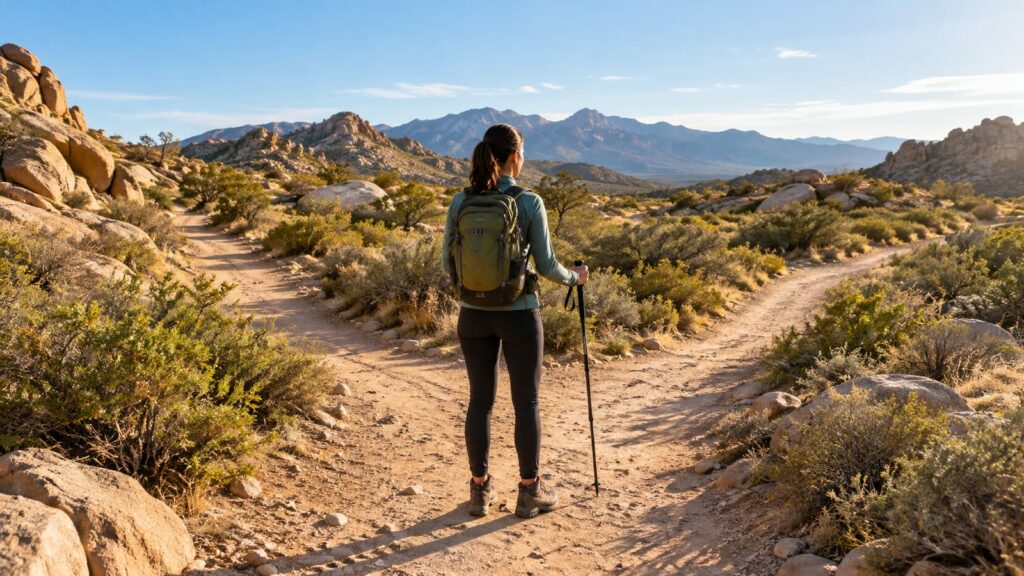
Start with Hidden Valley for the full Joshua Tree experience, then choose Barker Dam or Skull Rock for easier miles. Ryan Mountain gives the strongest payoff if your legs and the weather agree. The best Joshua Tree hiking trails are exposed, rocky, and easy to underestimate. Skip ambitious desert routes in summer heat. Carry offline navigation, extra water, and a turnaround time you’ll actually obey.
Which Joshua Tree hiking trails should you choose?
Hidden Valley is the safest first pick because it packs the park’s signature rock scenery into a manageable loop. Ryan Mountain earns the hard-hike slot with broad views and a steep climb. Families should start with Barker Dam, Skull Rock, or Arch Rock.
| Trail | Scenery | Effort | Distance | Family fit | Best use |
|---|---|---|---|---|---|
| Hidden Valley Nature Trail | Enclosed valley and large rock walls | Easy | One-mile loop | Good for most families | First hike in the park |
| Barker Dam Nature Trail | Boulders, history, possible wildlife | Easy | 1.1-mile (1.8 km) loop | Strong choice | Easy morning walk |
| Skull Rock Nature Trail | Distinctive rock formations | Easy | Short | Good with close supervision | Quick iconic stop |
| Arch Rock Nature Trail | Natural arch and boulder fields | Easy | Short | Good | Pair with another eastern trail |
| Cholla Cactus Garden Nature Trail | Dense cholla cactus landscape | Easy | Short | Good if children stay on the path | Sunrise or sunset add-on |
| Lost Horse Mine Loop | Mining remains and open desert | Moderate to difficult | Longer loop | Better for capable older hikers | Quieter half-day outing |
| Ryan Mountain Trail | Wide views across the park | Difficult | 3-mile round trip | Poor fit for small children | Hard morning hike |
For limited time, hike Hidden Valley and add Skull Rock. If you have most of a day, pair Hidden Valley with Barker Dam. Save Ryan Mountain or Lost Horse Mine for a cooler morning with fresh legs.
How do difficulty and length compare?
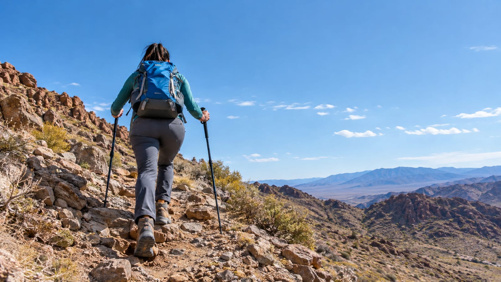
Mileage alone is a poor difficulty rating in Joshua Tree. Sand slows your stride, granite steps work your calves, and loose rock demands attention on descents. Meanwhile, open desert exposure can make a short trail feel far longer than the map suggests.
Elevation matters most on Ryan Mountain. The trail climbs 1,050 feet over a 3-mile round-trip out-and-back route. That climb is direct, exposed, and hard to bluff your way through once the heat rises.
Route-finding adds another layer. Nature trails near busy trailheads tend to be clear. Longer desert loops can cross washes, old roads, and bare rock where the next turn isn’t obvious.
Also consider your group. A short trail can still be a poor family choice if children want to scramble above their ability. This guide to choosing family-friendly hiking trails can help you judge the group rather than the label on the map.
Hidden Valley is the all-around pick
Hidden Valley Nature Trail is a one-mile loop through a scenic valley ringed by large rock formations. It gives you Joshua trees, narrow passages, open sand, and enough rock detail to hold your attention. The loop is short, but it doesn’t feel like a parking-lot photo stop.
The route is generally clear and manageable for casual hikers. However, the surface still includes uneven rock and sandy patches. Wear shoes with usable grip rather than smooth street soles.
Crowds are the main tradeoff. Arrive early if you want easier parking and quieter walking. Later in the day, the trail can feel like a slow parade through a very good set of rocks.
Choose Hidden Valley if this is your first visit, your group has mixed ability, or you only have time for one hike. Its scenery-to-effort ratio is hard to beat.
Easy family walks worth your time
Barker Dam Nature Trail is the strongest easy walk for history and possible wildlife. The easy 1.1-mile (1.8 km) loop crosses rocky desert terrain and reaches a historic dam. However, seasonal water is unreliable, so a dry visit can feel less rewarding.
Wildlife sightings also depend on timing, noise, and luck. Go early, keep voices low, and leave the portable speaker in the car. Animals have heard enough playlists.
Skull Rock is the easiest iconic option. The formation sits close to the road, while the surrounding trail adds more boulders and desert scenery. Still, it behaves more like a scenic stop than a substantial hike.
Arch Rock is another good family choice. The landmark is approachable, and the surrounding rocks give children plenty to inspect without committing the group to a long route. Pair it with another nearby stop if everyone still has energy.
Cholla Cactus Garden works best near sunrise or sunset, when low light gives the cactus field more shape. Cholla is a stop, not the day’s workout. Stay on the path because loose cactus segments can catch shoes, socks, and curious hands.
The moderate and hard routes earn their miles
Lost Horse Mine Loop suits hikers who want mining history, open desert, and fewer roadside crowds. The route feels more remote than the nature trails, and its sustained exposure matters more than any single steep section.
Navigation deserves attention here. Old tracks and desert junctions can look more convincing than the actual route. Download the map, confirm your direction at each junction, and turn back early if the weather or water supply starts shrinking your margin.
Ryan Mountain is the park’s strongest hard-hike payoff. Its steep climb leads to broad views over rock formations, desert basins, and distant ridges. There’s little shade, so wind and sun can both work on you during the same climb.
The out-and-back layout gives you a clean turnaround option. Use it. Reaching a summit isn’t worth finishing dehydrated, shaky, or after dark because pride took over at the last switchback.
Choose Ryan Mountain for views and a concentrated workout. Pick Lost Horse Mine for history, quieter trail miles, and a longer desert experience.
A practical three-day hiking itinerary
Day 1: Hidden Valley and Barker Dam
Start with Hidden Valley while parking is easier and the rock corridors are quieter. Then move to Barker Dam for a second easy loop with different scenery and a little park history.
If the group still feels good, stop at Skull Rock later. Keep that final walk optional. Travel days have a habit of turning easy mileage into tired feet.
Day 2: Ryan Mountain or Lost Horse Mine
Choose one demanding hike. Ryan Mountain is better for broad views and a direct climb. Lost Horse Mine works for hikers who prefer history and a quieter route.
Start early and leave the afternoon open for recovery, food, and a scenic drive. Stacking both hikes adds exposure without adding much wisdom.
Day 3: Arch Rock and Cholla Cactus Garden
Use the eastern side of the park for a lighter day. Hike Arch Rock, then visit Cholla Cactus Garden when the light is low and the heat is manageable.
If you plan a dawn start, review these practical sunrise hiking tips before leaving camp. A headlamp and known route beat wandering around a dark trailhead with your phone held out like a divining rod.
Iconic routes and quieter alternatives
Hidden Valley deserves its popularity. The loop delivers the park’s defining rock scenery without requiring a long day or strong route-finding skills. Arrive early rather than skipping it because it appears on every map.
Skull Rock and Cholla Cactus Garden need less commitment. Both are worthwhile, but neither should take priority over Hidden Valley if your time is tight. They work best as additions between larger hikes.
Barker Dam changes with conditions. Water, wildlife, and cooler weather improve the walk. During a hot, dry stretch, the history and boulder scenery carry most of the route.
Lost Horse Mine offers the quieter alternative after several miles. It lacks the concentrated rock corridors of Hidden Valley and the summit view from Ryan Mountain. However, the open desert and mining remains give it a stronger sense of distance from the road.
How should you hike in summer heat?
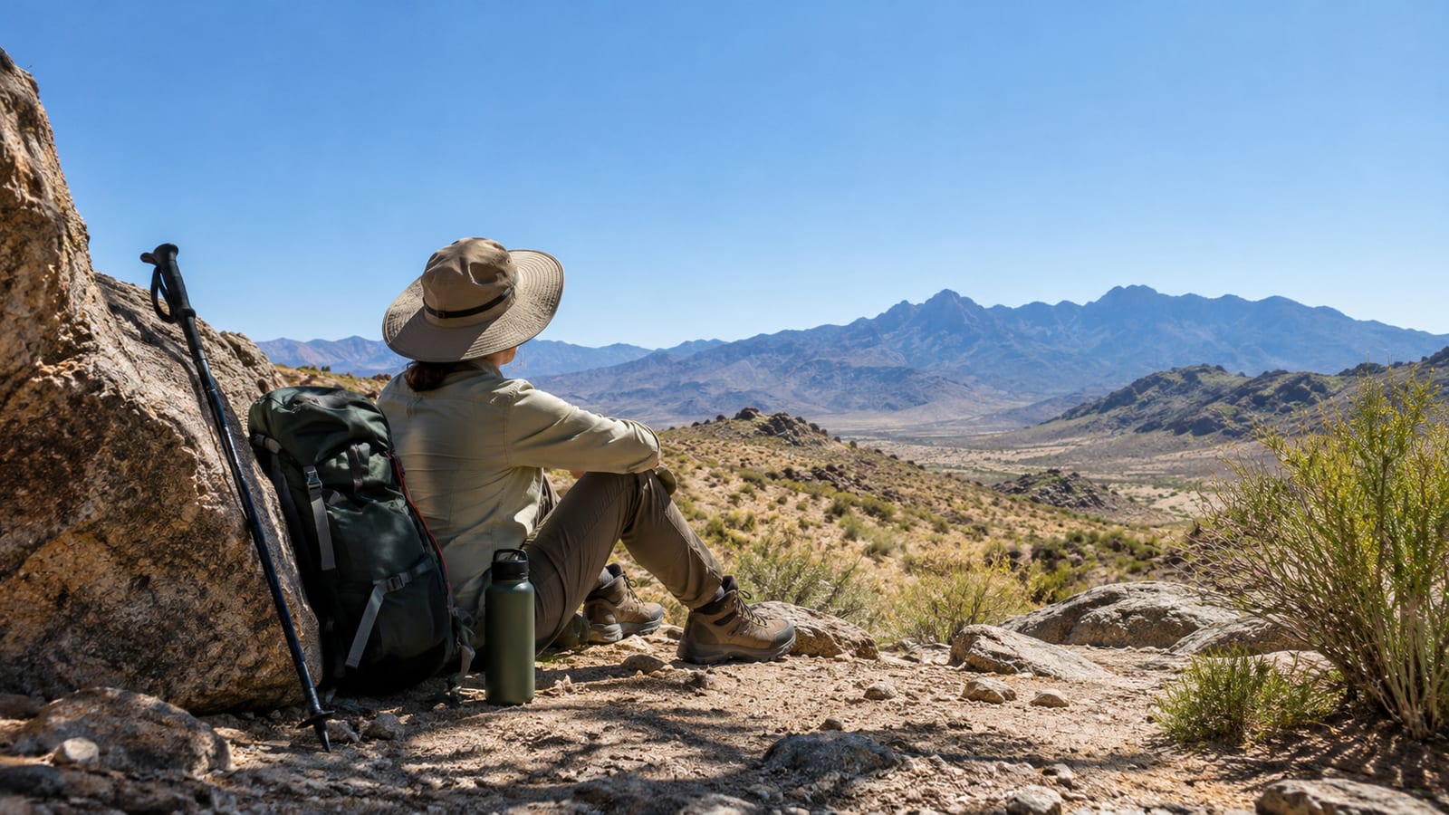
Start near first light and finish exposed hiking before the day reaches its worst heat. Joshua Tree has little dependable shade, and pale rock reflects heat back at you. A short walk can become a rescue problem with surprising speed.
Carry enough water for the route, delays, and a reserve. Add electrolytes or salty food for longer outings. However, extra water doesn’t make an exposed summer hike sensible if the forecast already leaves no margin.
Wear loose sun-protective clothing, a brimmed hat, sunglasses, and sunscreen. Light fabric helps with sweat management, while covered skin reduces the amount of sun your body has to handle.
Slow the pace before anyone feels sick. Headache, nausea, confusion, stumbling, or unusual weakness mean the plan has failed. Turn around, seek shade, cool the person, and get help if symptoms are serious.
Leave your route and expected return with someone outside the group. Also identify a bailout point before starting. If the heat, wind, or group pace is worse than expected, cancel the hike without holding a committee meeting in the sun.
Offline maps and desert route-finding
Download the official park map and your planned route before entering Joshua Tree. Cell service can disappear well before you need it. A blue location dot without downloaded map detail is a small, glowing disappointment.
Pin the exact trailhead and parking area. Several roads, picnic areas, and rock formations look similar after a long drive. Then test your mapping app in airplane mode so you know the route remains visible.
GPS can still show your location without cellular service, but it won’t replace judgment. Watch for signed junctions, cairns where permitted, obvious tread, and changes in terrain. If your screen and the ground disagree, stop and sort it out before walking farther.
For longer Joshua Tree hiking trails, carry a paper map and basic compass. A battery pack also earns its place, especially if your phone handles navigation, photos, and emergency contact.
Official trail information and park rules
Check the National Park Service Joshua Tree hiking information before choosing a route. Trail access, storm damage, fire restrictions, and closures can change. A saved social post won’t tell you what washed out yesterday.
Next, review the park’s current conditions and alerts before driving to the trailhead. Confirm parking access, road conditions, and any temporary restrictions.
Pets aren’t allowed on hiking trails. Leaving a dog in a parked vehicle is also dangerous, especially in desert heat. Make other arrangements rather than trying to stretch the rule.
Do not assume a trailhead has drinking water or a toilet. Check the official map, fill containers before the drive, and use facilities when you find them. Pack out food scraps, tissues, and every other small item that tends to become someone else’s problem.
Stay on established paths where possible. Do not carve rocks, disturb mining remains, collect plants, or approach wildlife. If you hire a hiking or climbing guide, verify that the service is authorized to operate in the park.
What should you carry?
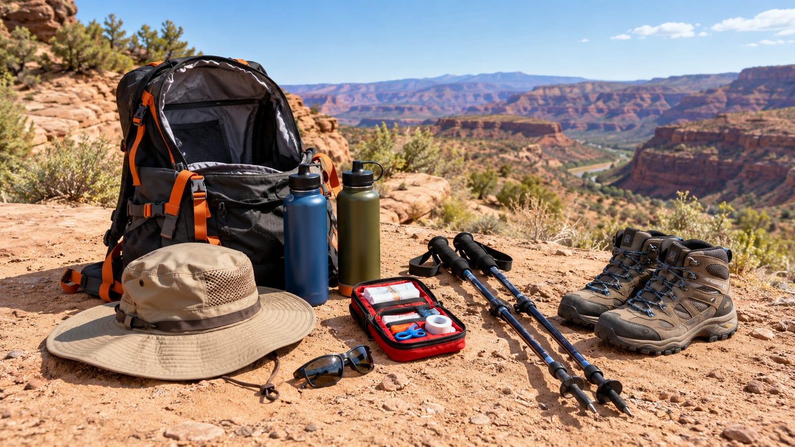
Keep the gear simple, but cover the consequences of heat, rock, and poor cell service.
- Water and electrolytes: Carry enough for the full route, delays, and a reserve. Never plan around finding water on the trail.
- Offline navigation: Bring a downloaded map, a charged phone, and a paper backup for longer routes.
- Sun protection: Pack a brimmed hat, sunglasses, sunscreen, and loose clothing that covers exposed skin.
- Grippy footwear: Trail runners or light hiking shoes work for most routes. Smooth soles slide on sand-covered granite.
- A warm layer: Desert temperatures can drop quickly after sunset, especially during shoulder-season trips.
- A headlamp: Carry one even for daytime hikes. Delays happen, and a phone light drains the device you may need for navigation.
- Basic first aid: Include blister care, bandages, and anything your group regularly needs.
- Food: Bring simple snacks that remain edible when warm. Chocolate becomes a pocket experiment.
- Emergency backup: A whistle and satellite communicator make sense for remote routes or solo hikes.
Heavy boots, large survival kits, and climbing equipment add pack weight without helping on ordinary nature trails. Bring technical gear only when your route and skills require it.
A trailhead decision checklist
Run through this list before leaving the vehicle. If several answers feel shaky, pick a shorter trail.
- Is the route suitable for the slowest person in the group?
- Does the weather leave enough margin for exposed hiking?
- Does everyone have their own water and sun protection?
- Is the map downloaded and the trailhead confirmed?
- Does someone outside the group know the route and return plan?
- Is there enough daylight for the hike, delays, and the drive out?
- Has the group agreed on a firm turnaround time?
- Are current closures, road conditions, and park alerts clear?
- Does the route still make sense if the pace is slower than expected?
- Is everyone willing to turn around without arguing?
Joshua Tree hiking trails punish wishful planning more often than weak legs. Make the conservative call at the trailhead, while the car, shade, and spare water are still beside you.
FAQ
What is the best season for hiking in Joshua Tree?
Cooler months give you the largest safety margin for longer hikes. However, winter can bring strong wind and cold mornings, while spring can mean busier parking and warm afternoons. Check the live forecast and park alerts rather than trusting the season alone.
Can you hike alone in Joshua Tree?
Solo hiking is reasonable on busy, well-marked routes if you carry water, offline navigation, and an emergency plan. Longer desert loops carry more risk because a missed junction or minor injury can leave you far from help. Tell someone where you’re going and when to expect you back.
Do you need a four-wheel-drive vehicle for these hikes?
The featured popular trailheads are generally reachable by a standard passenger car under normal conditions. Storm damage and road work can change access, though. Check current park road information before the trip and avoid unpaved detours your vehicle can’t handle.
Can you visit Joshua Tree without doing a long hike?
Yes. Hidden Valley offers a full park experience in a manageable loop, while Skull Rock, Arch Rock, and Cholla Cactus Garden work for shorter outings. You’ll still need water, sun protection, and sensible shoes because easy access doesn’t remove desert conditions.
Are Joshua Tree trails good for beginners?
Hidden Valley, Barker Dam, Skull Rock, and Arch Rock are reasonable starting points for beginners. Heat, rough rock, and poor footwear cause more trouble than the mileage on these routes. New hikers should start early, choose one easy trail, and finish before fatigue starts making decisions.
