
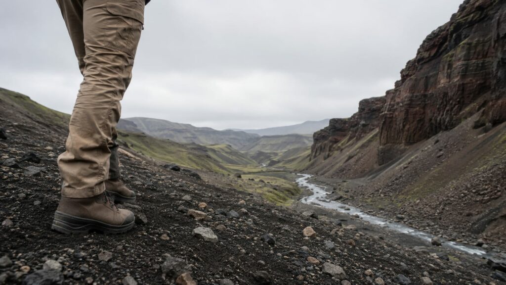
Volcanic creek walks reward hikers who respect two things at once: heat-warped, unstable ground and cold, fast-moving water. Match the trail to your legs and your risk tolerance, stick to marked paths near any active zone, and you get some of the most striking scenery in hiking. The best volcanic creek walks are Volcano Creek in California's Golden Trout Wilderness and the blast-zone streams around Mount St. Helens in Washington. The first is a creek cutting through old lava country, where the water runs past dark basalt and golden trout. The second is a stream system recovering inside a blast zone, re-cutting channels through ground the eruption rearranged.
Last updated: 2026-07-25
Both beat the third version, which is a marketing page that slaps volcanic on any trail within sight of a cone. Below are the walks that actually deliver, from a flat lakeside path to a full crater-view slog, plus what it takes to hike near a volcano that is still classed as active.
What makes a creek walk "volcanic" and why does it change the hike?
A creek walk earns the label when the water runs over or through volcanic rock and the terrain around it is shaped by past eruptions. That means dark basalt, loose pumice, cinder fields, and lava tubes instead of soft forest duff. The ground drains fast and holds heat, so shade is rare and footing is sharper than it looks.
The water itself behaves differently too. Blast-zone creeks carry fine sediment that clogs filters fast. Snowmelt feeds many of these streams, so flow swings hard between spring and late summer. You are walking two hazards at once here: unstable rock and cold, fast water. Neither one is dramatic if you plan around it.
The volcanic creek walks worth your boots
Start with the short list. These cover flat strolls, family caves, guided summits, and a long day across a blast zone.
| Walk | Where | Distance and effort | Who it suits |
|---|---|---|---|
| Meta Lake trail | Mount St. Helens, Washington | Short, accessible | Anyone, including wheelchair users |
| Lower Ape Cave | Mount St. Helens | Easy, flat cave walk | Families with headlamps |
| Silvestri Crater loop | Mount Etna, Sicily | 2.1 miles, moderately challenging | Visitors short on time or legs |
| Truman, Windy, Loowit, Willow Springs route | Mount St. Helens | Long day hike, strenuous | Fit hikers who want the blast zone |
| Etna summit tour | Mount Etna | Guided, around six hours | People who want the upper craters |
| Volcano Creek | Golden Trout Wilderness, California | Multi-day backpacking | Backpackers and anglers |
If you only do one, make it the Truman route. It crosses the Pumice Plains, where creeks have re-cut channels through the debris since the May 18, 1980 eruption. That mix of new water and raw volcanic ground is the whole point. The catch is exposure. There is almost no shade, so start early and carry more water than the mileage suggests.
For a genuine creek-first trip, Volcano Creek is the pick. It sits deep in the Golden Trout Wilderness, so you earn it with a backpacking approach, not a parking lot. Anglers go for the golden trout; hikers go for meadows edged by old lava. Give it multiple days on the calendar.
Why Mount St. Helens earns the top spot
Mount St. Helens National Monument claims over 200 miles of trails, and for once the big number matters. It means you can match the walk to the group instead of forcing everyone onto one path. Meta Lake handles strollers and wheelchairs. The Truman route handles people who want to be tired by dinner.
The lower Ape Cave is the family move. It runs about 1.5 miles round trip through a lava tube, cold year-round, and dark in the way phone lights do not fix. Bring two real light sources per person. The rule sounds fussy until one headlamp dies half a mile underground. If your crew likes going below ground, our guide to hikes through caves and caverns has more of the same.
Roads and trailheads on the north side close or change more often than the maps admit. Check current access before you drive out.
Can you hike near an active volcano safely?
Yes, with a monitoring status check the morning you go, not the week before. Every active volcano on this list has an agency watching it. In the US that is the USGS Volcano Hazards Program, and its status pages are the first thing to read before you plan.
Etna gets sold as Europe's largest active volcano, and it is genuinely huge. What the hang tags skip is that most visitors never leave the tourist zone near the cable car. The Silvestri Crater loop from the Rifugio Sapienza area is the honest short option. It is a real crater walk, short but steep in places, and busy by mid-morning. Go early, wear actual shoes on the loose cinder, and skip the gift-shop lava jewelry.
The upper mountain requires guides, so summit tours run with them. Those tours start at 9am and last around six hours. That is worth the money if you want the high craters, because the guides also know when to turn around. Tours cancel when activity rises. Treat a cancellation as the system working, not a ruined holiday.
What separates a safe volcano hike from a risky one
Alert level first, weather second, fitness third. After that, the risks are ordinary hiking risks wearing a costume. Volcanic terrain means sharp rock, loose footing, no shade, and few water sources you would trust without a filter.
Here is what actually decides whether a walk is safe:
- Monitoring status. Green or normal is a go. Anything above it means read the details or stay home.
- Gas venting. Steam vents and fumaroles push out gas that pools in low spots. Keep moving and do not linger in dips or craters.
- Trail closures. Rope lines and closed signs near active zones are drawn where the ground or the air is not trustworthy. They are not suggestions.
- Weather. Wind and cold hit harder with no shade or shelter, and fog turns loose ground into a navigation problem.
Name a bailout point before you start, and hike the upper zones with guides where guides are required. Ankle-covering footwear helps more here than on soft forest trails.
Time and difficulty, matched to your legs
These walks split cleanly into hours and days. The short crater and lake loops take under an hour of moving time, though Silvestri's climb will remind your calves it exists. Ape Cave runs an hour or two depending on how much your group wants to scramble in the dark.
The Truman route is a full day. A long walk across open pumice with real elevation gain and no shade takes longer than the same distance in forest, so budget for slow going and heat. Volcano Creek is a different category entirely: a multi-day backpacking trip where the walking is the small part and the logistics are the rest.
If your group includes new hikers, skip the long routes. Point them at easy, scenic beginner trails first, then come back for the blast zone once their feet have some trail miles.
Gear that holds up on ash and loose rock
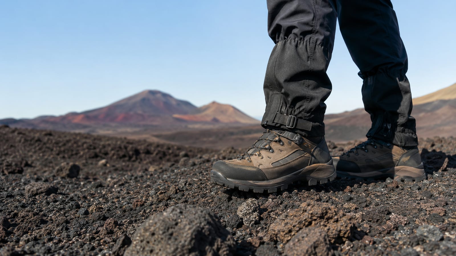
Trail runners with a firm sole handle most of these walks, because grip matters more than ankle armor. Volcanic rock is abrasive and slick when dusty, so leave smooth-soled sneakers at home. On loose cinder, add gaiters or high socks to keep grit out of the footbox.
Carry more water than the mileage says, since these trails rarely offer shade or a stream you would drink from untreated. A filter is standard, but blast-zone sediment clogs hollow fiber fast, so backflush often and pack tablets as a backup. For the cave, two light sources per person is the rule that saves the day.
When is the best season for volcanic creek walks?
Late spring through early fall for Mount St. Helens, because snow lingers on the higher routes into summer. The Truman route and Pumice Plains creeks run fullest right after melt-out, then drop as the season dries. Etna works most of the year at low elevation, but the summit is cold even in July, so pack a warm layer no matter the forecast.
The Golden Trout Wilderness is a summer and early-fall destination once the high country melts out. Show up too early and you fight snow and swollen creek crossings; too late and access roads start closing. Aim for the drier middle of the window and you get better footing and calmer water.
What to watch for along the water
The best moments on these walks are where new water meets old rock. Look for waterfalls dropping over hard basalt lips, columns of jointed lava, and creeks that have carved fresh channels through pumice since the last eruption. On the Pumice Plains you can read the whole story in the ground: raw debris, then a thread of water, then green edging back in.
Watch the crossings too. Snowmelt makes these creeks colder and pushier than they look, and loose banks give way under a boot. Scout for a wide, slow spot rather than rock-hopping a narrow fast one. The scenery is the reward; the crossing is where trouble actually happens.
What experienced hikers wish they'd known
Water is the whole trip on the long routes, and most people carry too little. Open pumice bakes you all day, so the mileage lies about how much you will drink. Fill up before the trailhead and treat every listed source as maybe, not yes.
Navigation is harder than it should be on featureless ground. Fog and blowing ash flatten the landscape, and a phone screen is a poor map in wind. Carry a paper map and a plan for turning around. Volcanic islands run on the same rules, and our Madeira trail guide shows how quickly weather changes on exposed lava terrain.
Last lesson: pace for the surface, not the distance. Loose cinder and heat slow you down more than elevation does.
FAQ
Do I need a permit for Volcano Creek?
Overnight trips in the Golden Trout Wilderness require a wilderness permit from the Forest Service, so sort that before you drive. Day hikes usually do not, but rules shift by trailhead. Call the ranger district rather than trusting an old blog post, including this one.
Are these walks safe for kids?
The short ones are. Meta Lake is stroller-friendly, and plenty of kids love the cold dark of Ape Cave, though a few decide it is a hostage situation. Keep children off the long blast-zone routes and away from any roped venting area.
Can you fish these creeks?
Volcano Creek is known for golden trout, and anglers plan whole trips around it. You will need a California fishing license and current regulations for the wilderness, since remote streams often have catch limits to protect small populations. Check before you cast, not after.
How crowded do these trails get?
Silvestri Crater and Meta Lake sit bus-stop close, so expect company from late morning on. The Truman route and Volcano Creek trade crowds for effort, which is the usual deal. Start early anywhere near a cable car or a paved lot.
What if a volcano's alert level changes while I'm out there?
Turn around toward your named bailout point and treat closures as final. Monitoring agencies raise levels on warning signs, not on eruptions in progress, so an early exit costs you a view, not much else.
